





What's Happening?
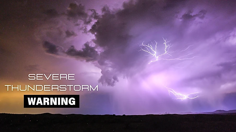
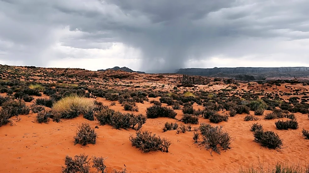
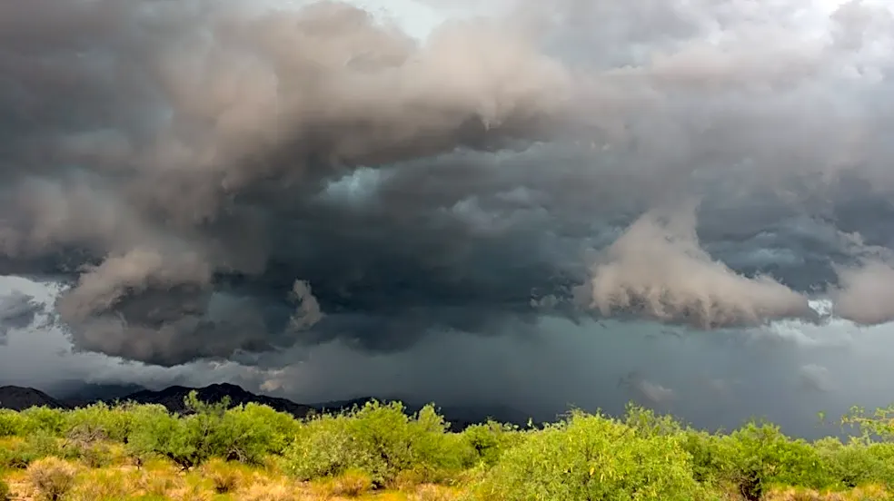
The National Weather Service (NWS) has issued a severe thunderstorm warning for parts of Arizona, including the Phoenix area, due to the potential for destructive baseball-sized hail and damaging winds. A severe thunderstorm watch is in effect until 9
p.m. Wednesday. Storms are anticipated to be most active north and east of Phoenix. Additionally, northern Arizona was placed under a rare tornado watch, the state's first since 2010, covering Mohave, Coconino, Yavapai, and Navajo counties. Tornado warnings were also issued for specific areas within Coconino and Navajo counties. Earlier in the week, a supercell storm brought hail larger than an inch to parts of the East Valley. Heavier rainfall is expected overnight into Thursday morning, with some areas potentially receiving over an inch of rain. Flood watches are in effect for most of the Phoenix area until 5 p.m. Thursday, and a second flood watch covers Globe-Miami, Superior, Tonto Basin, and the Superstition Mountains until 11 p.m. Thursday.
Why It's Important?
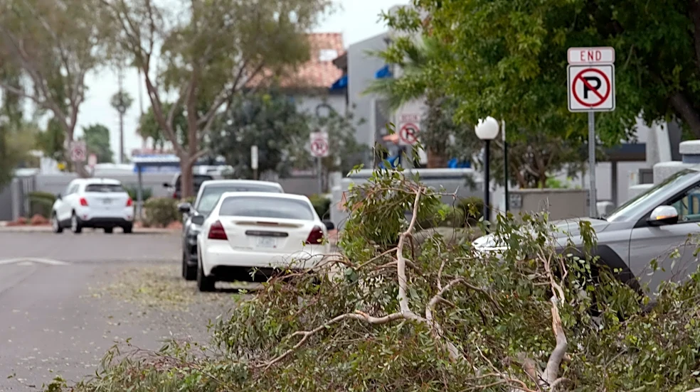
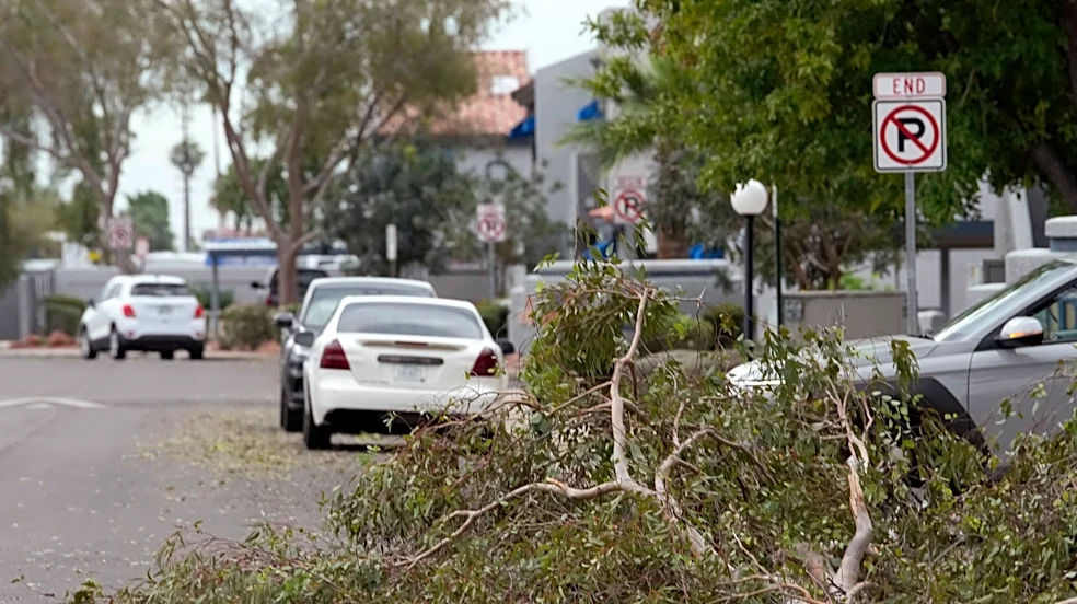
This severe weather event carries significant implications for public safety and infrastructure across Arizona. The threat of baseball-sized hail can cause extensive property damage to homes, vehicles, and agricultural crops, leading to substantial financial losses for residents and businesses. Damaging winds pose risks of power outages, downed trees, and structural damage. The rare tornado watch in northern Arizona highlights an unusual and heightened level of danger, requiring residents to be prepared for rapid and destructive weather changes. The anticipated heavy rainfall and subsequent flood watches could lead to flash flooding, disrupting transportation, damaging roads, and creating hazardous conditions for commuters. These weather events can strain emergency services and require coordinated responses from local and state authorities to ensure public safety and mitigate damage.
What's Next?
Residents in affected areas are advised to remain vigilant and follow guidance from the National Weather Service and local emergency management. The severe thunderstorm watch is expected to continue until 9 p.m. Wednesday, with heavier rain forecast overnight into Thursday morning. Flood watches will remain in effect for various parts of Arizona, including the Phoenix area, until Thursday evening. Drier and cooler weather is anticipated to arrive on Friday, with temperatures in the Valley struggling to reach 80 degrees Fahrenheit over the weekend. Authorities will likely continue to monitor weather patterns closely and issue further warnings or advisories as needed. The focus will shift to assessing and recovering from any damage caused by the storms once the immediate threat subsides.
Beyond the Headlines
The occurrence of a rare tornado watch in Arizona, coupled with severe hail and flood warnings, underscores the increasing variability and intensity of weather patterns. This event could prompt discussions about climate resilience and preparedness strategies in regions not traditionally associated with such extreme weather phenomena. For instance, the state's first tornado watch since 2010 suggests a potential shift in meteorological trends that may require updated emergency response protocols and public awareness campaigns. The economic impact of property damage from hail and flooding could also highlight the need for robust insurance coverage and disaster relief mechanisms. Furthermore, the strain on infrastructure and emergency services during such events could lead to long-term investments in weather-resistant infrastructure and enhanced early warning systems to protect communities from future extreme weather occurrences.