
What's Happening?
The Oregon and Washington coasts are under a 'First Alert Day' warning for dangerously high waves and coastal flooding expected on Friday and Saturday mornings. A large low-pressure system approaching
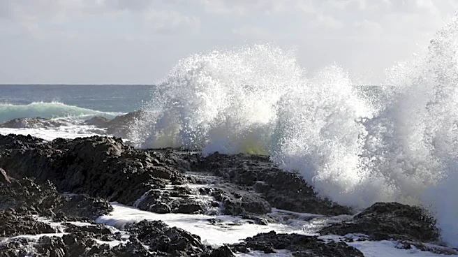
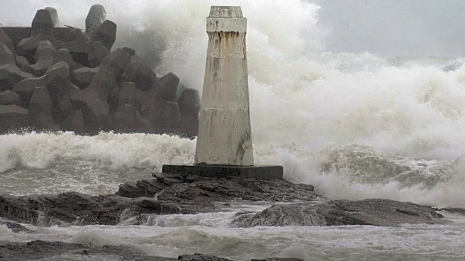
the coastline will generate persistent southerly winds, leading to hazardous coastal waters. The strongest swell is anticipated Friday evening, between 7-10 PM PST. Waves are projected to reach 20-25 feet along the northern Oregon coast, with even higher waves directed towards the southern Oregon coast. These conditions are described as 'extreme sneaker waves' and are expected to cause rip currents, significant beach erosion, and carry logs and other debris. Authorities warn that normally dry areas of the beach may become unexpectedly submerged, and coastal flooding could extend inland, potentially affecting regions like Tillamook County during high tide on Friday afternoon.
Why It's Important?
This weather event poses significant safety risks to coastal residents and visitors, with potential for life-threatening conditions due to powerful waves and strong currents. The expected beach erosion could lead to long-term environmental impacts on coastal ecosystems and infrastructure. For local economies reliant on tourism and recreation, the warnings and potential damage could disrupt activities and lead to financial losses. Additionally, the risk of isolated power outages, particularly in North-Central Oregon where gusts could reach 50 mph and the southern Oregon coast where gusts might hit 65 mph, could impact daily life and emergency services. The event highlights the vulnerability of coastal communities to severe weather phenomena and the importance of adherence to safety advisories.
What's Next?
Residents and visitors are strongly advised to avoid the coastline throughout Friday and Saturday due to the dangerous conditions. Emergency services and local authorities will likely be on high alert to respond to any incidents, including potential rescues or power outages. Following the peak of the high surf, assessments will be made regarding beach erosion and any damage to coastal properties or infrastructure. Weather patterns for the following week indicate a mix of dry and showery conditions, with snow levels potentially dropping to 4,000 feet, which could bring light snow accumulation to mountain passes and ski resorts. Continued monitoring of weather forecasts and adherence to local advisories will be crucial for those in affected areas.
Beyond the Headlines
The recurring nature of severe coastal weather events, such as this one, underscores broader discussions about climate change and its potential impact on the frequency and intensity of extreme weather. Coastal communities face ongoing challenges in adapting to rising sea levels and increased storm surges, necessitating long-term planning for coastal resilience and infrastructure development. The economic implications extend beyond immediate tourism losses, potentially affecting property values and insurance rates in vulnerable areas. Furthermore, public awareness campaigns about beach safety and the dangers of sneaker waves become increasingly vital to prevent tragedies, emphasizing the need for continuous education and preparedness in regions prone to such natural phenomena.