
What's Happening?
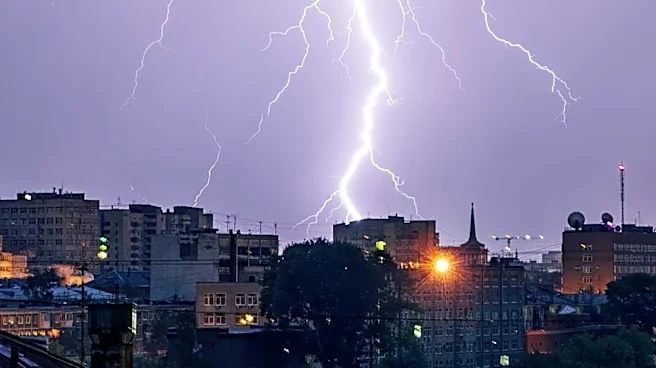
Eastern Australia is bracing for another round of severe thunderstorms, particularly impacting the Brisbane area this afternoon and evening. This follows an active weekend that brought heavy rainfall,
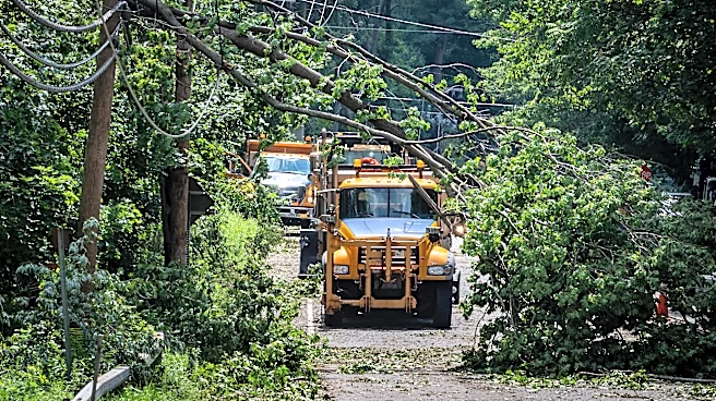
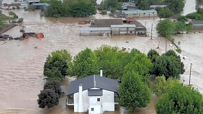
damaging winds, and large hail to regions like Gillieston Heights, New South Wales. The Bureau of Meteorology has issued warnings for potential large hail, damaging winds, and heavy rainfall that could lead to flash flooding across a broad area extending from Wide Bay-Burnett into the southeast coast, and across the New South Wales border into the Northern Rivers and Tablelands. A broader yellow area also indicates the possibility of severe thunderstorms from south of Mackay into the Central Highlands and northeastern New South Wales, where similar conditions are possible. Community impacts could include downed trees and power lines, power outages, property damage, and agricultural damage from large hailstones.
Why It's Important?
While this severe weather event is focused on Australia, it highlights the increasing frequency and intensity of extreme weather phenomena globally. For U.S. stakeholders, particularly those in agriculture, insurance, and disaster preparedness, observing such events in other developed nations provides valuable insights into potential future challenges. The economic impact of severe weather, including damage to infrastructure, agriculture, and the cost of emergency response, can be substantial. Understanding the patterns and consequences of these storms, even in distant regions, can inform U.S. strategies for climate resilience, urban planning, and the development of early warning systems. The disruption to daily life and potential for property damage underscore the importance of robust infrastructure and effective public safety campaigns.
What's Next?
The severe weather is expected to contract eastwards into the evening, with a low-pressure system developing off the north coast of New South Wales. This system is anticipated to push moisture and showers onto the coast, though only moderate rainfall totals are currently expected as the low-pressure system is forecast to move away quickly. By tomorrow, the risk of thunderstorms across the region is significantly lower, with a much drier outlook. Residents in affected areas are advised to monitor radar updates, stay informed through the Bureau of Meteorology's website, app, and social media, and heed advice from local emergency services. The focus will shift to recovery efforts and assessing the full extent of the damage caused by the storms.
Beyond the Headlines
The recurring nature of severe weather events in Australia, as described in this report, points to a broader global trend of climate variability and extreme weather. This has long-term implications for urban development, infrastructure investment, and agricultural practices worldwide, including in the U.S. The economic and social costs associated with these events are escalating, prompting discussions about climate adaptation and mitigation strategies. Furthermore, the reliance on accurate meteorological forecasting and effective public communication during such crises underscores the critical role of scientific institutions and emergency services in safeguarding communities. The experience gained from managing these events in one part of the world can offer valuable lessons for others facing similar environmental challenges.