
What's Happening?
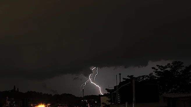
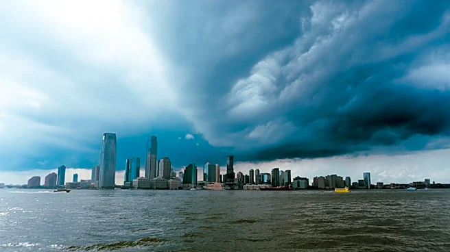
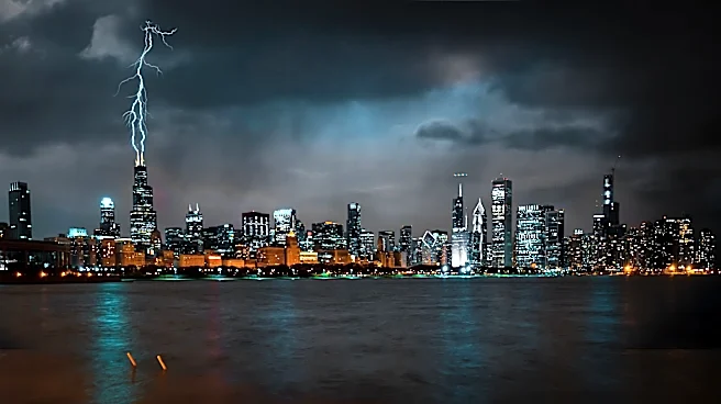
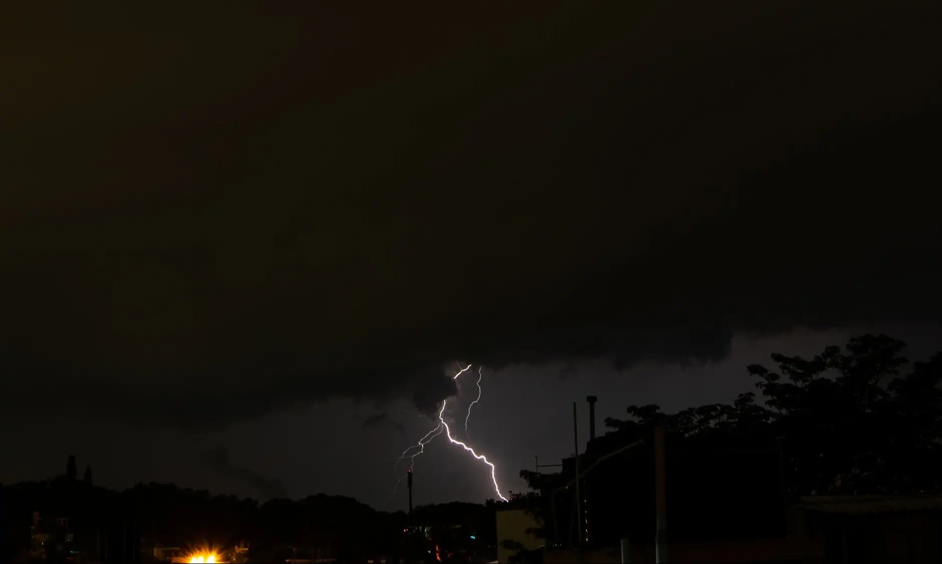
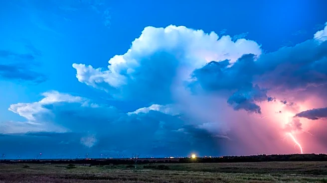
The Washington D.C. metropolitan area experienced another round of strong to severe thunderstorms on Friday afternoon and early evening. These storms moved from the northwest to the southeast, primarily
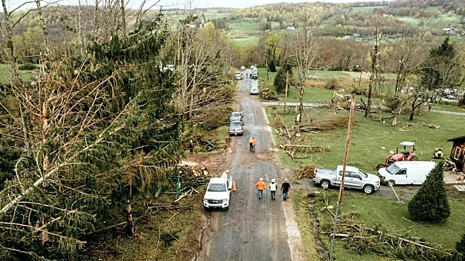
impacting the southern half of the region. While the atmospheric energy was less intense compared to the previous night, several strong to severe storms did occur, leading to reports of wind damage. The National Weather Service had issued a severe thunderstorm watch for much of the DC region, which was later ended early. Wind damage reports, mainly involving downed trees, were concentrated in Fauquier County and areas further south of the immediate DC vicinity. One particular storm around Manassas shifted east-southeast across the Interstate 95 corridor and the Potomac River, remaining south of the Beltway. Another severe storm with potential gusts up to 60 mph was headed towards Manassas, affecting parts of Loudoun, southwest Fairfax, and northeastern Fauquier counties. Areas north of the Beltway largely avoided the stronger storms.
Why It's Important?
The recurring severe weather events in the DC region highlight the increasing vulnerability of urban and suburban infrastructure to extreme weather. Wind damage, particularly downed trees, can lead to significant power outages, disrupting daily life for thousands of residents and businesses. Such disruptions can impact transportation, communication, and essential services, posing challenges for emergency response and recovery efforts. For local businesses, power outages can result in lost revenue and operational downtime. The repeated nature of these storms also places a strain on utility companies and public works departments, requiring continuous resources for repair and maintenance. Furthermore, the threat of damaging winds and associated hazards like falling trees poses a direct safety risk to the public, necessitating timely warnings and preparedness measures from local authorities.
What's Next?
Following the Friday storms, the immediate outlook for the DC area suggests a dry evening, with only a small chance of a passing shower or rumble overnight into early Saturday. Utility crews will likely continue working to restore power to any remaining affected areas, particularly in regions that experienced significant wind damage. Local authorities will assess the full extent of the damage, especially in counties like Fauquier, where numerous reports of downed trees were received. Residents are advised to remain vigilant for any lingering hazards, such as fallen branches or power lines. The National Weather Service will continue to monitor weather patterns, and residents should stay informed about future forecasts, especially as the region approaches the holiday weekend, which is expected to bring nicer weather.
Beyond the Headlines
The frequent occurrence of severe weather, as seen in the DC region, underscores broader discussions about climate patterns and urban resilience. While individual storm events are natural phenomena, their intensity and frequency can be influenced by larger climatic trends. This situation prompts a deeper look into how urban planning and infrastructure development can better withstand such events. Investments in undergrounding power lines, strengthening tree management programs, and improving early warning systems could become more critical. Furthermore, the psychological impact of repeated severe weather events on residents, including anxiety and disruption to routines, is a less obvious but significant consequence. The community's ability to adapt and recover from these events also highlights the importance of local emergency preparedness and mutual aid networks.