




What's Happening?
California is facing an increasing likelihood of a significantly wet winter, with scientists from the National Oceanic and Atmospheric Administration (NOAA) reporting over a 90% chance of a strong El Niño developing between October and December. There
is also a 75% probability that this El Niño could be the strongest on record since 1950, an increase from 69% last month. Meteorologist Michelle L’Heureux of the National Weather Service’s Climate Prediction Center has advised California residents to prepare for above-average rainfall and stormier conditions. Supercomputer models from leading meteorological organizations, including the European Centre for Medium-Range Weather Forecasts (ECMWF), indicate a 70% chance that rainfall totals from January to March across the entire California coast, including the Bay Area, will be among the wettest 20% of historical averages. This widespread expectation of heavy rainfall extends beyond Southern California, which typically sees higher odds of a wet winter during El Niño years.
Why It's Important?
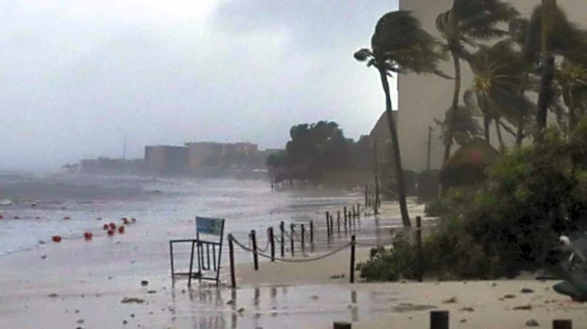
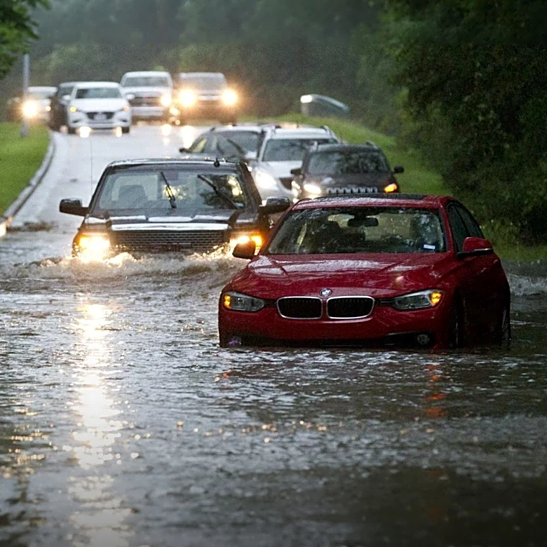
A historically wet winter in California carries significant implications for the state's infrastructure, economy, and public safety. Increased rainfall could alleviate long-standing drought conditions, replenishing reservoirs and groundwater supplies crucial for agriculture and urban use. However, it also heightens the risk of severe flooding, mudslides, and coastal erosion, particularly in areas already vulnerable from previous storm seasons. Coastal communities, roads, piers, and cliffs could face substantial damage, as seen with recent impacts from Hurricane Marie. The agricultural sector, a cornerstone of California's economy, could experience both benefits from increased water availability and challenges from potential crop damage due to excessive rain and flooding. Emergency services and state agencies are already preparing for potential disruptions, including power outages and transportation issues, underscoring the broad societal and economic impact of such a weather event.
What's Next?
As El Niño conditions continue to strengthen, California state officials, including the California Office of Emergency Services (Cal OES), are actively conducting planning sessions, weather briefings, and reviewing emergency protocols. These preparations include mapping areas of concern and identifying resources to mitigate potential flooding, mudslides, power outages, and transportation disruptions. Residents are advised to monitor local weather advisories and prepare for potential evacuations. The coming months will see increased vigilance from state and local authorities as they track the progression of El Niño and its anticipated effects. The distribution and intensity of rainfall will be critical in determining the ultimate impact, as meteorologists like Jan Null note that even with high rainfall totals, widespread flooding can be mitigated if storms are spread out over time, allowing waterways to recede.
Beyond the Headlines
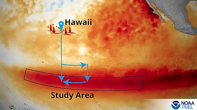
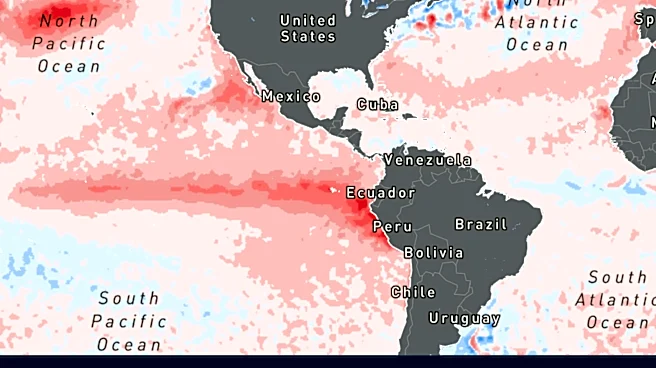
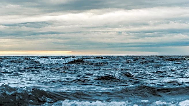
The anticipated strong El Niño event highlights the complex interplay between natural climate cycles and long-term climate change. The Pacific Ocean's current record-warm temperatures, approximately 5.4 degrees warmer than average along the equator, are contributing to the intensity of this El Niño. This warming, combined with an 8-inch sea level rise since 1900 due to climate change, exacerbates the potential for coastal flooding. The phenomenon of 'Kelvin waves,' where winds push ocean water against the South American coast, is expected to cause an additional 6 to 12 inches of sea level rise in California in the coming months. This confluence of factors means that high tides coinciding with heavy storms could lead to unprecedented coastal inundation, posing significant challenges for urban planning, infrastructure resilience, and environmental protection efforts along California's extensive coastline. The event serves as a stark reminder of the need for adaptive strategies in the face of a changing climate.