






What's Happening?
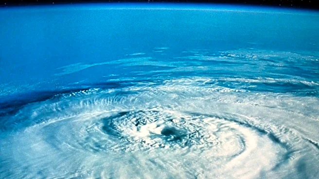
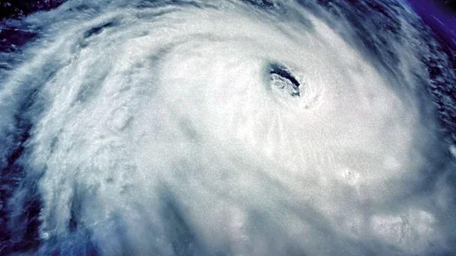
Super Typhoon Dolphin has intensified to a Category 5-equivalent storm with sustained winds of 160 mph as it moves northwest across the Western Pacific towards Asia. The storm developed rapidly, with a significant increase in wind speed over a 24-hour
period. Although it currently poses no immediate threat to land, its trajectory and strength are being closely monitored by meteorologists.
Why It's Important?
The intensification of Super Typhoon Dolphin underscores the potential for severe weather impacts in the region, particularly if the storm changes course or continues to strengthen. The presence of a strong El Niño could influence weather patterns, increasing the likelihood of extreme weather events. The situation highlights the importance of preparedness and monitoring in regions prone to typhoons.
What's Next?
Meteorologists will continue to track the storm's progress and provide updates on its potential impact. Residents in the storm's projected path may need to prepare for possible evacuations or other safety measures. The storm's development will be closely watched to assess any changes in its intensity or direction.