

What's Happening?
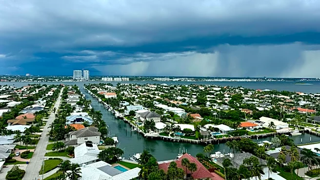
First Alert Chief Meteorologist Bob Harrigan has declared 'First Alert Weather Days' for Tuesday and Wednesday across the Suncoast region, encompassing a large area of Florida. This declaration comes as deep tropical moisture and a sagging cold front
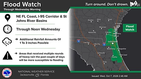
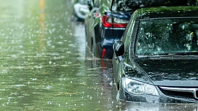
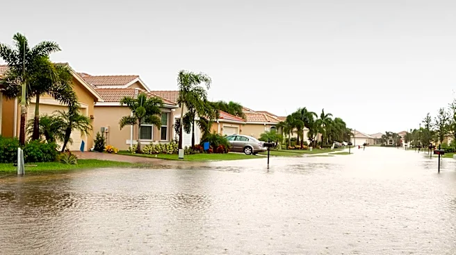
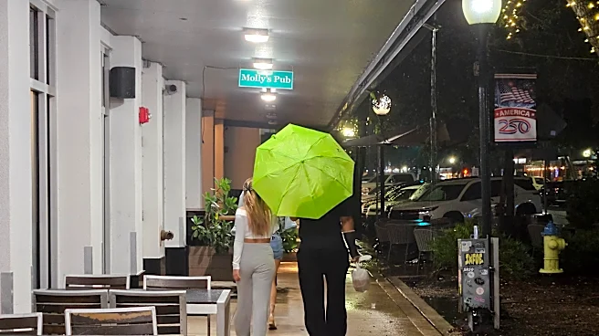
are expected to bring rounds of heavy rainfall and a risk of localized flooding. While the rain is not anticipated to be continuous throughout the day, intense downpours are likely, particularly during late afternoon, evening, and morning hours. The National Weather Service / Weather Prediction Center has placed the Suncoast in a Marginal Risk (level 1 of 4) for flash flooding, with forecasts indicating 1 to 3 inches of rain, and locally up to 5 inches, possible between Tuesday morning and Wednesday morning. An additional 1 to 3 inches are expected from Wednesday morning through Thursday morning. The primary concern is localized street flooding and poor drainage areas, which could disrupt normal activities.
Why It's Important?
The impending heavy rainfall and potential for localized flooding in the Suncoast region carry significant implications for residents, infrastructure, and local economies. Disruptions to daily life, including travel delays due to flooded roads, are highly probable. Businesses, particularly those reliant on foot traffic or outdoor operations, may experience reduced activity. The risk of property damage from water intrusion, especially in low-lying areas and homes with poor drainage, is elevated. While the overall impact is expected to be low-end, the localized nature of the flooding means certain communities could face substantial challenges. The situation also highlights the ongoing vulnerability of coastal Florida regions to weather events, underscoring the need for robust emergency preparedness and infrastructure resilience in the face of increasingly unpredictable weather patterns.
What's Next?
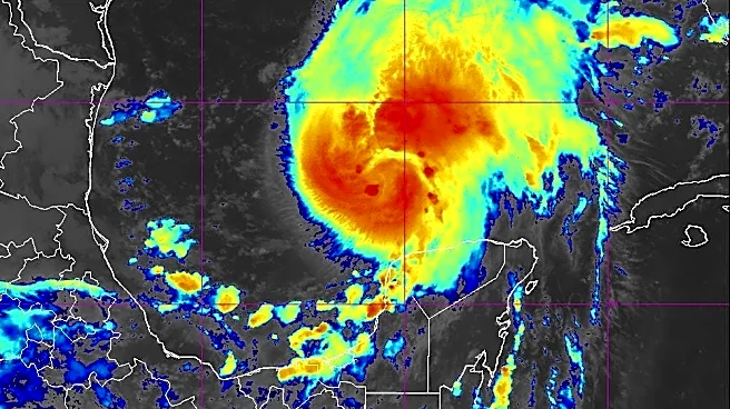
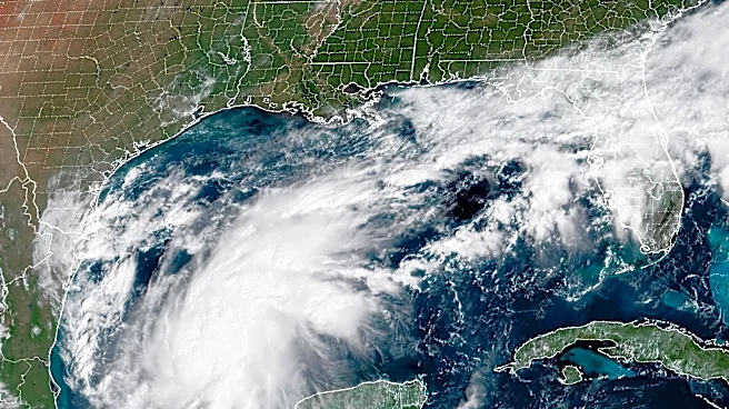
Residents in the Suncoast region are advised to prepare for periods of heavy downpours and potential localized flooding. Authorities recommend clearing gutters and drains, securing outdoor items, and having multiple ways to receive First Alert warnings. The forecast indicates that rain chances will remain high even into the weekend, suggesting that the 'First Alert Weather Days' may extend beyond Wednesday. Meteorologists will continue to monitor the situation, especially a tropical disturbance in the SW Gulf (AL92), which, while currently distant, could influence weather patterns later in the week. The public is urged to avoid driving through flooded roads, adhering to the 'Turn Around, Don’t Drown' safety message, and to stay updated with local weather forecasts for any changes.
Beyond the Headlines
The recurring threat of heavy rainfall and flooding in Florida, as exemplified by this 'First Alert Weather Days' declaration, points to broader environmental and urban planning challenges. The increasing frequency and intensity of such events can strain local emergency services and infrastructure, necessitating continuous investment in flood mitigation strategies, such as improved drainage systems and permeable surfaces. Furthermore, the economic impact extends beyond immediate damage, affecting insurance markets, property values, and the long-term sustainability of coastal communities. The need for public awareness and preparedness campaigns becomes paramount, fostering a culture of resilience among residents. This event serves as a reminder of the complex interplay between climate patterns, urban development, and community vulnerability in a region highly susceptible to weather-related hazards.