

What's Happening?
A cold front is expected to move through Montana this weekend, bringing strong winds and a significant drop in temperatures. Friday will remain hot, with highs in the 80s and 90s, but temperatures are expected to peak on Saturday, reaching near 100 degrees
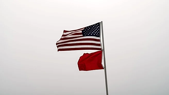
in some areas. The front will bring a 10 to 20-degree drop in temperatures by Sunday and Monday. Strong westerly winds, with gusts between 25 and 40 mph, will accompany the front, creating critical fire weather conditions. Fire Weather Watches are in effect, with potential upgrades to Red Flag Warnings as conditions develop.
Why It's Important?
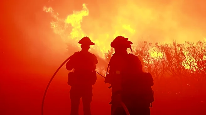
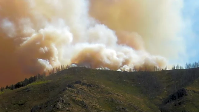
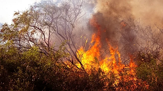
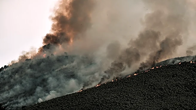
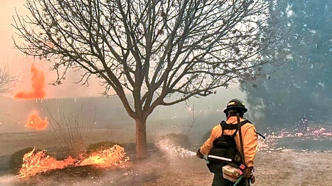
The arrival of the cold front is crucial for fire management in Montana, as the combination of high temperatures, low humidity, and strong winds increases the risk of wildfires. The Fire Weather Watches and potential Red Flag Warnings highlight the need for heightened awareness and preparedness among residents and fire management teams. The temperature drop will provide some relief from the heat, but the ongoing dry conditions and strong winds pose a continued threat to fire-prone areas. This weather event underscores the challenges of managing natural resources and public safety in the face of extreme weather conditions.
What's Next?
As the cold front moves through, residents and authorities will need to remain vigilant for potential fire outbreaks. The forecasted winds and dry conditions necessitate caution and readiness to respond to any fire incidents. The cooler temperatures expected early next week may offer temporary relief, but the return of high pressure and above-normal heat by midweek suggests that fire risks will persist. Ongoing monitoring and communication from weather services and local authorities will be essential to ensure public safety and effective fire management.