

What's Happening?
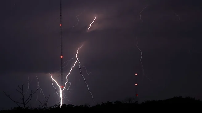
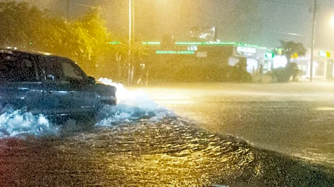
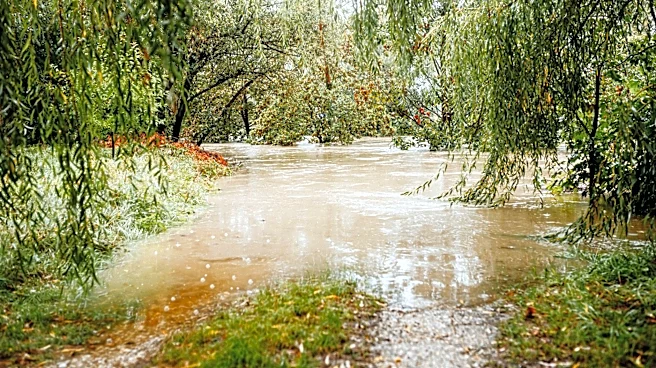
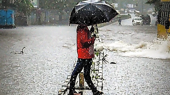
The National Weather Service has issued warnings for heavy rain and localized flash flooding across parts of western and north central New York. A cold front moving into the region is expected to bring showers and thunderstorms, with the potential for periods
of heavy rainfall. The greatest risk for flooding is anticipated from Sunday through Sunday night, as thunderstorms may repeatedly affect the same areas.
Why It's Important?
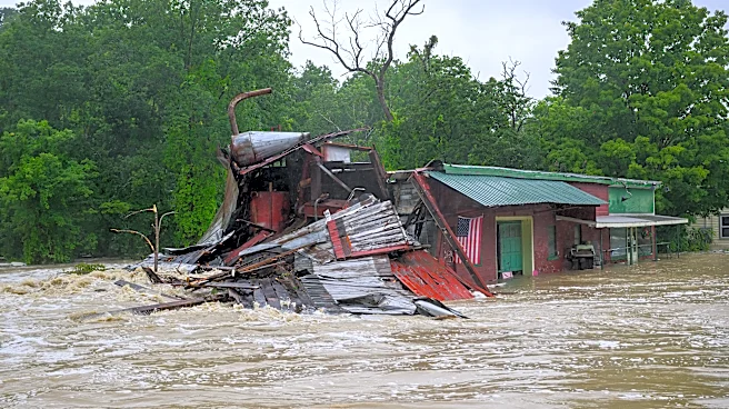
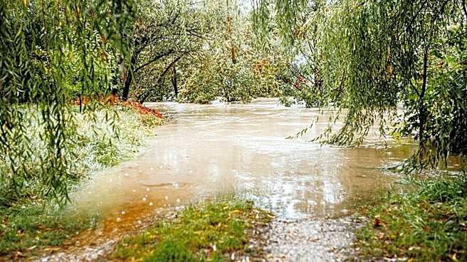
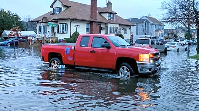
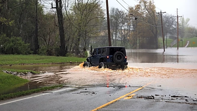
The potential for flash flooding poses a significant risk to communities in the affected areas, particularly in low-lying regions and those with poor drainage systems. Flash floods can lead to property damage, disrupt transportation, and pose safety hazards to residents. The situation underscores the importance of preparedness and timely response to weather-related emergencies.
What's Next?
Meteorologists are monitoring the development of low-pressure systems that could influence the timing and intensity of the rainfall. Residents in the affected areas are advised to stay informed about weather updates and take necessary precautions to protect themselves and their property. Drier weather is expected to return by Monday night, providing some relief from the heavy rain.