








What's Happening?
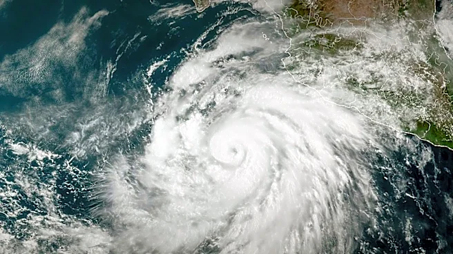
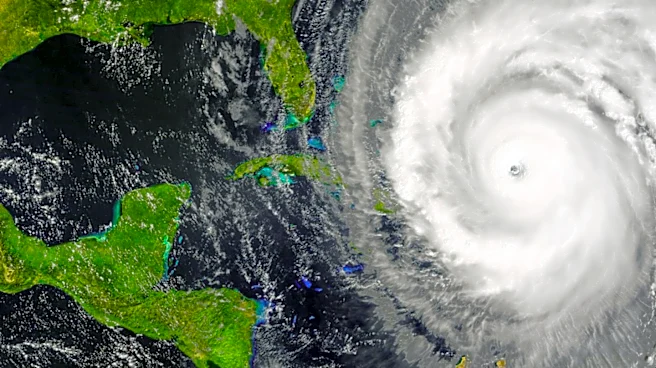
Tropical Depression Two has developed in the northeastern Gulf of Mexico and is anticipated to bring significant rainfall and tropical storm-force winds to the northern and eastern Gulf Coast regions in the coming days. The National Hurricane Center forecasts
that the depression could intensify into a tropical storm, to be named Tropical Storm Bertha, by tonight or Monday. A Hurricane Hunter aircraft is scheduled to investigate the system to gather data on its winds, pressure, and surrounding weather conditions. The depression is expected to produce widespread rainfall totals of 2 to 4 inches, with isolated areas potentially receiving up to 8 inches, particularly in the strongest thunderstorms. A storm surge of 1 to 3 feet above normal levels is possible along Florida's Big Bend region. A Tropical Storm Watch has been issued for the Florida Panhandle from the Ochlockonee River to the Florida-Alabama border, with tropical storm conditions possible within 36 to 48 hours.
Why It's Important?
The formation of Tropical Depression Two poses a significant threat to communities along the Gulf Coast, particularly in terms of heavy rainfall and potential flooding. The expected storm surge and high winds could lead to property damage and disrupt daily life in affected areas. The potential for flash flooding is a major concern, especially in low-lying regions and areas with poor drainage. This development comes as the Atlantic hurricane season progresses, highlighting the need for preparedness among residents and local authorities. The storm's impact could also affect local economies, particularly in sectors such as tourism and fishing, which are vital to the Gulf Coast region.
What's Next?
As Tropical Depression Two continues to move slowly north-northwest, it is expected to approach the Gulf Coast of Alabama, Mississippi, and Louisiana by midweek. The system is currently battling dry air, but with lighter wind shear, there is potential for further strengthening. Residents in the affected areas are advised to monitor updates from the National Hurricane Center and local authorities, and to prepare for possible evacuations or other safety measures. The situation remains dynamic, and further advisories will provide more detailed forecasts and potential impacts.