






What's Happening?
North Carolina is bracing for a colder and wetter winter than usual, as a 'Super El Niño' is developing in the Pacific Ocean. El Niño is characterized by warmer-than-average sea-surface temperatures in the equatorial Pacific, which trigger changes in global
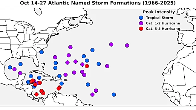
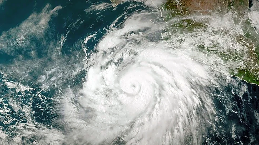
weather patterns. Climatologists have observed Pacific Ocean temperatures reaching levels rarely seen in decades, leading some forecasters to label the current system a 'Super El Niño.' While El Niños are common, the intensity of this one is considered out of the ordinary. Historically, El Niño brings cooler and wetter conditions to North Carolina during the fall and winter months. This developing system has also been linked to low hurricane activity in the Atlantic this season, due to upper atmospheric winds over the Caribbean Sea tamping down hurricane formation.
Why It's Important?
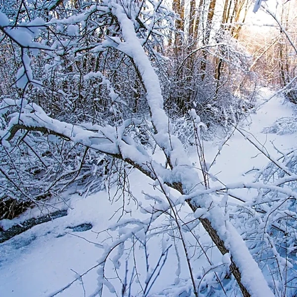
The forecast of a colder and wetter winter due to the Super El Niño has significant implications for North Carolina. After an extremely dry summer with parts of the state experiencing significant rainfall deficits and low groundwater levels, increased precipitation could be beneficial for replenishing water resources. However, the shift from one extreme to another, a hallmark of global climate change, also presents risks. While a wet winter might sound appealing, it could lead to an increased risk of flooding, high winds, and tree damage. The 1982-83 El Niño, which this current event is tracking in terms of Pacific Ocean temperatures, resulted in severe impacts, including a late spring freeze that devastated horticulture crops like peaches and strawberries. This historical context highlights the potential for unpredictable and challenging weather events, requiring residents and agricultural sectors to prepare for a range of possible outcomes.
What's Next?
North Carolina residents and authorities are advised to prepare for the potential impacts of the Super El Niño. While a wetter winter could alleviate drought conditions, the risk of flooding and other severe weather events necessitates proactive measures. Recommendations include cleaning gutters, trimming tree limbs, and securing outdoor items that could be damaged by high winds. The unpredictability of strong El Niños means that while general trends are forecasted, specific events can be challenging. The N.C. State University’s State Climate Office website is a resource for tracking the latest data and predictions. The long-term implications also include the possibility of a swing back to dry conditions in subsequent years, emphasizing the need for ongoing climate adaptation strategies.
Beyond the Headlines
The 'Super El Niño' phenomenon in North Carolina highlights the broader issue of climate change and its role in intensifying natural weather cycles. The swing from extreme drought to potentially extreme wetness underscores the increasing volatility of weather patterns. This situation challenges the traditional understanding of seasonal weather and demands a more flexible and resilient approach to infrastructure, agriculture, and public safety. The impact on specific sectors, such as the potential for a late spring freeze to devastate horticulture crops, reveals the vulnerability of local economies to these large-scale climate events. Furthermore, the public's reliance on anecdotal evidence, such as 'persimmon fruit spoons' for weather prediction, contrasts with scientific forecasting, emphasizing the need for clear communication and education on climate science to ensure effective preparedness and response.