





What's Happening?
A new online tool, the Paleocoordinates Calculator (PACA), allows users to visualize the historical positions of their current locations on Earth, dating back 145 million years. Developed by the BIOST3 Research Group at the University of Barcelona, PACA uses
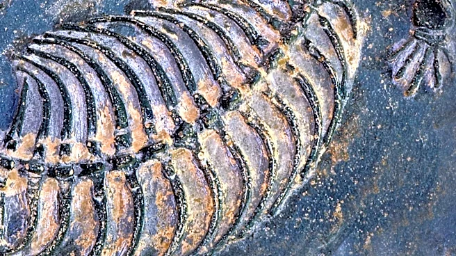
models of global plate movement to provide insights into the shifting positions of continents over geological time. This tool is particularly useful for paleontologists, enabling them to determine the original locations of fossil findings by inputting current coordinates and estimated ages. The PACA tool offers a user-friendly interface, requiring no technical expertise, and provides a 3-D visualization of past continental arrangements.
Why It's Important?
The PACA tool represents a significant advancement in the field of paleontology and geology, offering a more accessible and efficient method for researchers to study Earth's geological history. By accurately mapping the historical positions of landmasses, scientists can gain a better understanding of past climates, ecosystems, and the distribution of species. This knowledge is crucial for reconstructing Earth's evolutionary history and can inform predictions about future geological changes. The tool's ability to visualize continental shifts also has educational value, helping to engage the public with the dynamic nature of Earth's surface.
Beyond the Headlines
The development of PACA highlights the growing importance of digital tools in scientific research, enabling more precise and comprehensive analyses of complex data. As technology continues to advance, similar tools could be developed for other scientific fields, enhancing our ability to study and understand natural phenomena. Additionally, the insights gained from PACA could contribute to broader discussions about climate change and its impact on Earth's geological processes, emphasizing the interconnectedness of past and present environmental changes.