





What's Happening?
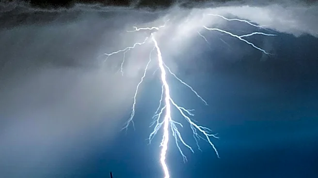
The National Weather Service has issued a Severe Thunderstorm Watch for parts of northern and central Iowa and southern Minnesota, effective until 2 AM Sunday. The watch includes several counties in both states, with the primary threats being damaging
winds and large hail. Wind gusts could reach up to 85 mph, and hail may be as large as 1.5 inches in diameter. Although the storm complex has shown signs of weakening, strong to severe storms remain possible as it moves eastward.
Why It's Important?
Severe weather events like this can have significant impacts on communities, including property damage, power outages, and disruptions to daily life. The issuance of a thunderstorm watch serves as a critical alert for residents to prepare and take necessary precautions to ensure safety. Understanding the potential severity of these storms is essential for emergency services and local governments to coordinate responses and minimize risks to public safety. The situation also highlights the importance of timely and accurate weather forecasting in mitigating the effects of severe weather.