



What's Happening?
The current El Niño climate pattern has reached the highest intensity category, 'very strong,' according to a November 12 report from NOAA's Climate Prediction Center (CPC). This level of intensity has only been recorded three other times since 1950:
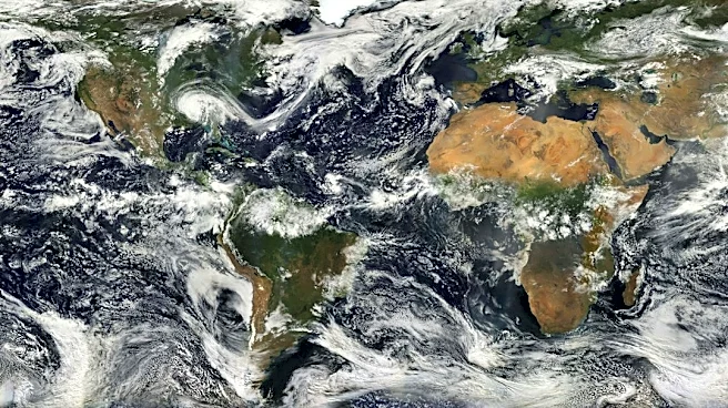
1982-83, 1997-98, and 2015-16. The CPC indicates a 60% chance that this event could exceed these previous historic El Niños. Michelle L'Heureux, a physical scientist with the National Weather Service's extended prediction division and NOAA's ENSO team lead, stated that the El Niño is projected to peak later in 2026 or early in 2027, specifically during the October-December or November-January periods. El Niño is a natural climate phenomenon characterized by unusually warm surface waters in the central and eastern Pacific Ocean, leading to extreme weather globally, including droughts and heavy rainfall.
Why It's Important?
The confirmation of a 'very strong' El Niño by NOAA signifies a high probability of significant weather disruptions across the United States. Historically, such intense El Niños have profoundly influenced U.S. weather patterns, leading to increased rainfall and potential flooding in the southern U.S., and altered temperature and precipitation patterns elsewhere. For instance, the southern Plains, Southeast, and mid-Atlantic could experience frequent rain and increased flooding concerns, while western mountains might see beneficial heavy snowfall. Conversely, the Midwest, Great Lakes, and Northeast could face warmer conditions and below-average snowfall. These shifts impact various sectors, from agriculture and water management to infrastructure and public safety. The prolonged influence of this El Niño, extending well into 2027, necessitates proactive planning and resource allocation to mitigate potential negative impacts and leverage any positive outcomes.
What's Next?
The El Niño is expected to continue into spring 2027, with a 61% chance of returning to ENSO-neutral conditions during the April-June period. The World Meteorological Organization (WMO) predicts that this 'very strong' El Niño will unleash more heat and extreme weather well into 2027, increasing the risk of extreme heat, drought, and heavy rainfall. Globally, impacts are expected through at least the spring, with lagged influences from El Niño potentially remaining significant even as ocean temperatures cool. Looking further ahead, there is a 33% chance of a La Niña developing in later 2027, which is not uncommon after strong El Niños. If La Niña persists into the fall of 2027, it could boost the chances for an active Atlantic hurricane season. For the immediate future, experts like DTN meteorologist John Baranick anticipate El Niño will remain the dominant driver of U.S. weather patterns for several months.
Beyond the Headlines
The ongoing El Niño event underscores the interconnectedness of global climate systems and their far-reaching effects. The detailed monitoring by NOAA and other scientific bodies provides crucial data for understanding these complex interactions. The potential transition from a strong El Niño to a La Niña highlights the cyclical nature of the El Niño-Southern Oscillation (ENSO) and the need for continuous long-term climate forecasting. This scientific understanding is vital for policymakers, emergency services, and communities to develop resilient strategies against extreme weather. The economic implications, from agricultural yields to disaster recovery costs, are substantial, making accurate and timely climate predictions indispensable for national stability and preparedness.