


What's Happening?
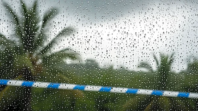
The likelihood of a super El Niño event occurring this year is increasing, according to a recent forecast by the European Centre for Medium-Range Weather Forecasts (ECMWF). This climate pattern, characterized by significant warming of the equatorial Pacific
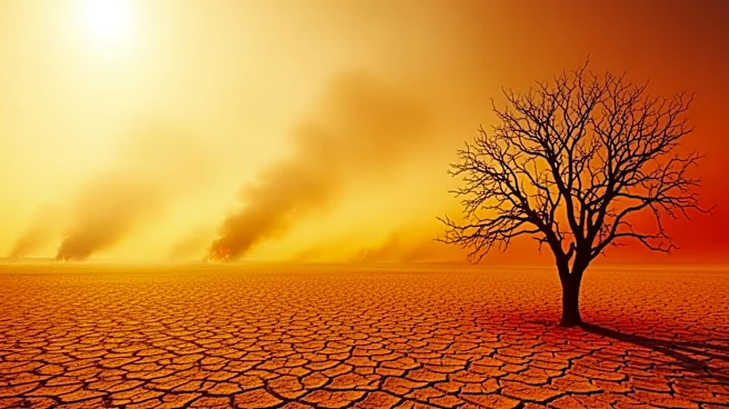
Ocean, could have widespread effects on global weather patterns. During a super El Niño, sea temperatures in the Pacific can rise more than 2 degrees Celsius above average, leading to extreme weather conditions such as droughts, floods, and hurricanes. The potential impacts include hotter-than-average summers in the Western United States, increased hurricane activity in the Pacific, and reduced hurricane activity in the Atlantic. This event could also push global temperatures to new highs, particularly in 2027, surpassing previous records set in 2015.
Why It's Important?
A super El Niño event could have significant implications for global climate and weather patterns, affecting agriculture, water resources, and disaster preparedness. In the U.S., regions like the Western states could experience severe heat and unusual weather patterns, impacting agriculture and water supply. Globally, countries in the Pacific and Caribbean may face increased risks of drought and extreme weather, affecting food security and economic stability. The potential for record-breaking global temperatures underscores the urgency of addressing climate change and its impacts on ecosystems and human societies.
What's Next?
If the super El Niño develops as predicted, it could lead to a series of extreme weather events and record temperatures over the next year. Governments and organizations may need to prepare for increased disaster response efforts and adapt agricultural practices to mitigate the impacts. Monitoring and forecasting will be crucial in managing the potential risks associated with this climate phenomenon.