


What's Happening?
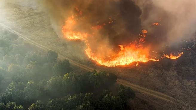
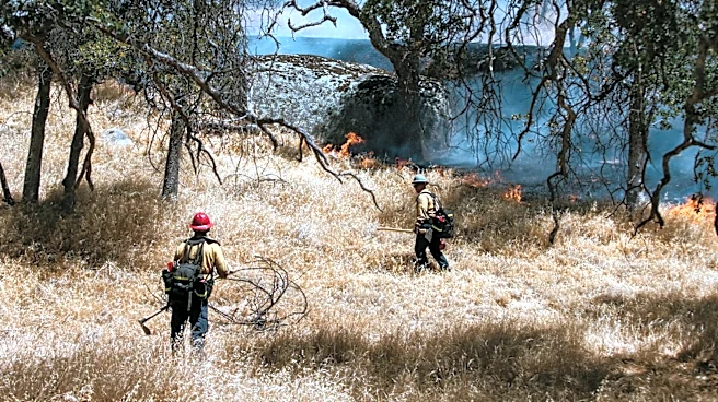
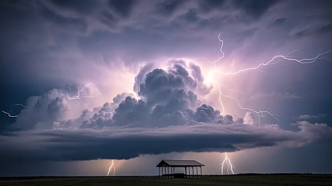
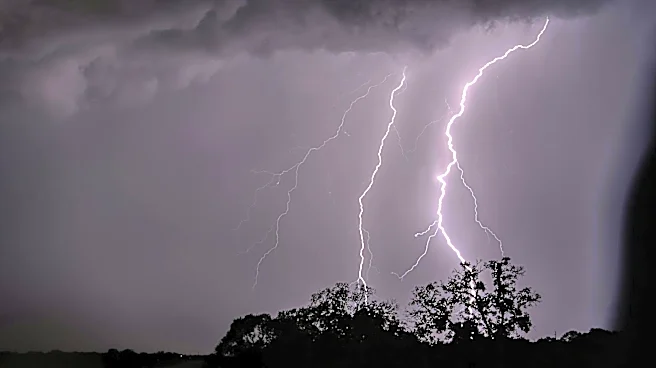
Severe thunderstorm warnings have been issued by the National Weather Service (NWS) across parts of the Northeast, Intermountain West, and Northern Rockies. These warnings affect hundreds of thousands of residents, with threats of damaging winds, large
hail, and dangerous lightning. In central New York, storms with wind gusts up to 60 mph and quarter-size hail are moving through several counties, including Syracuse and Oswego. Similar warnings are in place for Utah, Idaho, and Montana, where gusts could reach 70 mph. Residents in affected areas are advised to move indoors, avoid windows, and seek shelter in interior rooms. The warnings emphasize the immediate threat posed by these storms, which can produce life-threatening hazards with little warning.
Why It's Important?
The severe thunderstorm warnings highlight the immediate risk to public safety and property in the affected regions. High winds and large hail can cause significant damage to homes, vehicles, and infrastructure, while lightning poses a direct threat to personal safety. The warnings also underscore the importance of timely communication and preparedness in mitigating the impact of severe weather events. Residents are urged to take the warnings seriously and to follow safety guidelines to protect themselves and their property.
What's Next?
The threat of severe thunderstorms is expected to persist through the end of the week, with the potential for storms to develop in the Southwest and Plains states. Residents in these areas should remain vigilant and prepared for further warnings. The NWS will continue to monitor the situation and issue updates as necessary. Local authorities may also implement additional safety measures to protect residents and infrastructure.