





What's Happening?
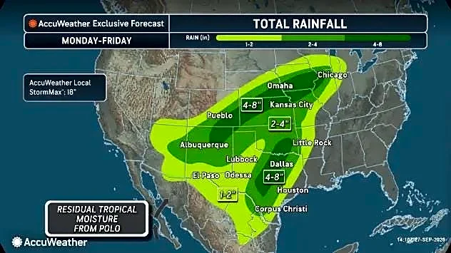
A Flood Watch has been issued for parts of Central Texas, effective from this evening until Friday evening. This alert comes as multiple rounds of downpours and storms are anticipated over the next few days. The National Weather Service forecasts an average
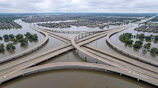
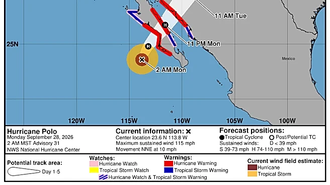
of 2-4 inches of rain across the region, with isolated areas potentially receiving up to 6 inches. The primary concern is the risk of flooding, particularly on Thursday. Tropical moisture is currently in place, and a low-pressure system and front are expected to converge with this moisture, intensifying the rainfall. The slow-moving front will be a key factor in the development of these storms, with upper-level lift sustaining their strength. Central Texas faces a moderate to high risk of street, flash, and river flooding, especially on Thursday, with the flooding risk shifting eastward into the region after initially being concentrated to the west.
Why It's Important?
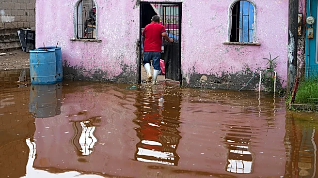
This flood watch is significant for residents and infrastructure in Central Texas, as heavy rainfall and potential flooding can lead to widespread disruptions. The anticipated 2-6 inches of rain could overwhelm drainage systems, causing street closures, property damage, and hazardous driving conditions. For businesses, particularly those in low-lying areas, there is a risk of operational interruptions and financial losses due due to water damage or reduced customer access. Emergency services will likely face increased demand, requiring resources for rescue operations and traffic management. The agricultural sector could also be impacted, with excessive rainfall potentially damaging crops or delaying planting schedules. The safety of the public is paramount, and the moderate to high risk of flooding underscores the need for preparedness and caution to mitigate potential harm and economic setbacks.
What's Next?
Residents in Central Texas should prepare for severe weather conditions, particularly on Thursday, when the risk of flooding is expected to be highest. The first round of storms, characterized by scattered activity, moderate rain, and lightning, is anticipated early on Thursday. A second, more intense round of widespread heavy rain, strong storms, and increased flooding risk, along with potential small hail and gusty winds, is expected late Thursday. Authorities will likely issue further advisories and warnings as the weather system evolves. Individuals are advised to stay informed through local weather updates, secure outdoor items, and avoid driving through flooded areas. Emergency response teams will be on standby to address any incidents, and local government agencies may implement road closures or other safety measures as needed to protect public safety and infrastructure.
Beyond the Headlines
The recurring nature of severe weather events, such as the anticipated flooding in Central Texas, highlights broader challenges related to urban planning and climate resilience. Rapid urbanization in areas like Austin can exacerbate flooding risks, as increased impervious surfaces reduce natural water absorption. This event underscores the need for ongoing investment in robust storm drainage infrastructure and effective land-use policies that account for environmental vulnerabilities. Furthermore, it brings to light the importance of community preparedness and public education on flood safety, especially in regions prone to such weather patterns. The economic impact of these events, from immediate damage to long-term recovery costs, also prompts discussions about insurance coverage, disaster relief funding, and the sustainable development practices necessary to mitigate future risks in a changing climate.