






What's Happening?
West Michigan is preparing for a round of strong to severe storms expected to move through the region this evening and into tonight. According to FOX 17 Weather Ready Meteorologist Colton Cichoracki, a cold front will bring these storms, with most of West Michigan falling
under a Marginal Risk (Level 1 out of 5) for isolated severe weather. The primary threats include damaging winds, hail, and heavy rain. The storms are anticipated to exit West Michigan around midnight, paving the way for a mainly dry day on Wednesday. Following the front, cooler and less humid air will move in from the north, resulting in pleasant temperatures through the end of the work week, with highs near 80 degrees Fahrenheit and morning lows in the 50s and low 60s. Rain chances are expected to return Friday night into the weekend.
Why It's Important?
The forecast for strong storms carries immediate implications for public safety and daily life in West Michigan. Damaging winds and hail can cause power outages, property damage, and create hazardous driving conditions, disrupting commutes and essential services. Heavy rain could lead to localized flooding, impacting infrastructure and potentially causing delays. For residents, preparedness is key, including securing outdoor items and having emergency plans in place. The subsequent shift to cooler, less humid weather will provide a welcome change after the storms, offering more comfortable conditions for outdoor activities. However, the return of rain chances by the weekend suggests a continued need for vigilance regarding weather patterns, impacting weekend plans and agricultural activities in the region.
What's Next?
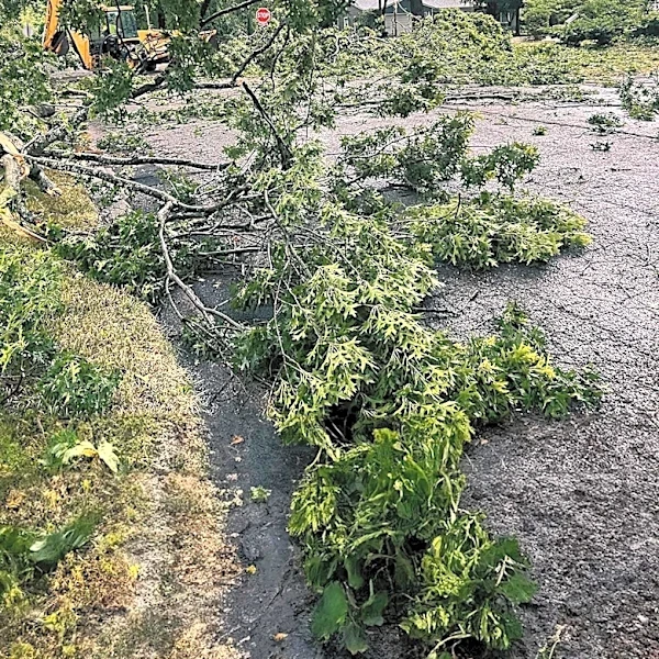
Residents of West Michigan should monitor local weather updates closely throughout the evening for any changes in storm severity or timing. Emergency services and utility companies will likely be on standby to respond to any storm-related incidents, such as power outages or downed trees. After the storms clear around midnight, Wednesday is expected to be mostly dry, allowing for initial assessments of any damage. The cooler and less humid conditions will persist through the work week, offering a reprieve from the summer heat. However, the forecast indicates a return of rain chances by Friday night and into the weekend, suggesting that residents should remain prepared for variable weather conditions and plan accordingly for weekend activities.
Beyond the Headlines
The recurring pattern of severe weather events, such as the strong storms expected in West Michigan, underscores the broader impact of climate variability on local communities. While individual weather events cannot be directly attributed to long-term climate trends, the increasing frequency and intensity of severe storms in various regions across the U.S. highlight the growing importance of robust infrastructure, effective emergency preparedness, and community resilience. These events also prompt discussions about urban planning, drainage systems, and the need for sustainable practices to mitigate the effects of extreme weather. For West Michigan, adapting to these changing weather patterns will be crucial for protecting its residents, economy, and natural resources in the long term.