
What's Happening?
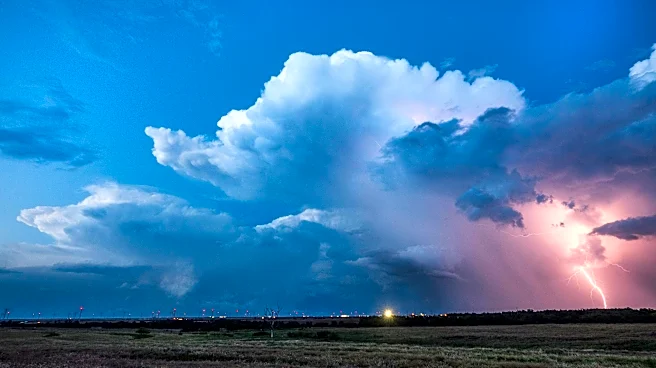
The European Center for Medium-Range Weather Forecasts (ECMWF) has released new data indicating that an El Niño event expected to form soon could become one of the most powerful on record. Water temperatures
in a key region of the central equatorial Pacific Ocean may reach 3 degrees Celsius above average by the end of the year, potentially surpassing records set in 1877 and 2015. This development could lead to significant shifts in global climate patterns, affecting temperatures, droughts, floods, and sea ice. The phenomenon is expected to fully form by July, with impacts including reduced hurricane activity in the Atlantic, increased hurricane risk in the Pacific, and altered rainfall patterns in various regions.
Why It's Important?
The potential for a record-breaking El Niño is significant due to its wide-ranging impacts on global weather patterns and economies. Such events are known to cause food shortages, water impacts, and even civil conflict in tropical countries. In the U.S., the Western regions may experience above-average temperatures and unusual humidity, while the Southeast and Mid-Atlantic could see warmer summers. The agricultural sector, public health, and economic stability could be affected by these changes, with increased risks of droughts and floods in various parts of the world. The event could also contribute to record global temperatures, with 2027 potentially becoming the warmest year on record.
What's Next?
As the El Niño develops, stakeholders including governments, agricultural sectors, and disaster response agencies will need to prepare for its impacts. Monitoring and forecasting efforts will be crucial in mitigating potential adverse effects on food security and public health. The scientific community will continue to study the phenomenon to better understand its implications and improve predictive models. Policymakers may need to consider adaptive strategies to address the anticipated climate variability and its socio-economic consequences.