
What's Happening?
NASA has employed interferometric synthetic aperture radar (InSAR) to map ground displacement following a major earthquake on the Kamchatka Peninsula in eastern Russia. The earthquake, which occurred on July 29, 2025, was a magnitude 8.8 event, one of the strongest recorded by modern seismic instruments. InSAR provides precise measurements of ground displacement across large areas, offering insights into the movement of tectonic plates and fault lines. This technique complements traditional seismic networks, which may have limitations in measuring the extent of ruptures, especially in regions with sparse local seismic data.
Why It's Important?
The use of InSAR technology is crucial for improving earthquake hazard assessments and enhancing tsunami forecasting models. By providing detailed information on fault slips and ground displacement, InSAR helps emergency response teams identify the most affected areas quickly, facilitating efficient resource deployment. This technology also contributes to a better understanding of global fault behavior, which is essential for predicting future seismic events and mitigating their impact on communities.
What's Next?
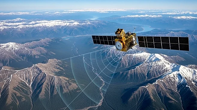
The launch of the NISAR satellite in July 2025 is expected to enhance the availability and quality of InSAR data, providing more frequent and comprehensive displacement maps. This advancement will improve the monitoring of earthquakes, volcanoes, and other geological processes, offering faster data access during disaster responses. The integration of NISAR data with other observational tools will further refine models used in hazard science and public safety planning.
Beyond the Headlines
The development and application of InSAR technology highlight the importance of remote sensing in understanding Earth's dynamic processes. This approach not only aids in immediate disaster response but also contributes to long-term scientific research on tectonic activity and its implications for global safety. The collaboration between international space agencies in advancing remote sensing capabilities underscores the global effort to address natural hazards.