


What's Happening?
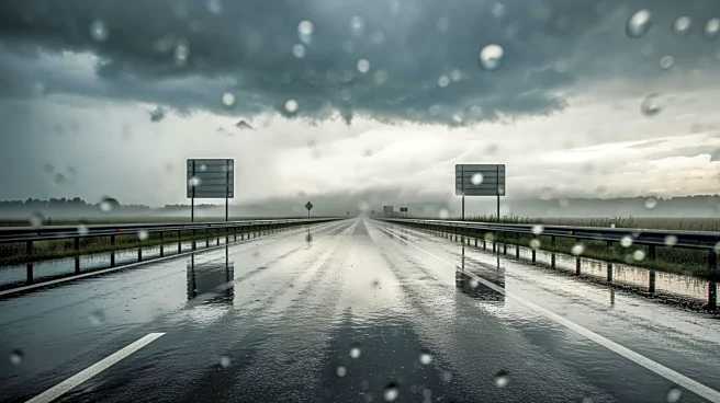
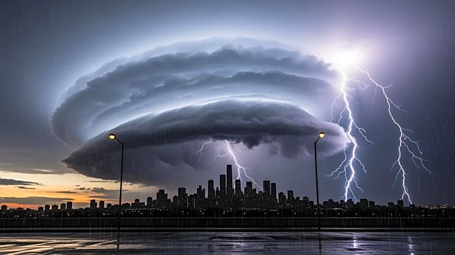
A powerful winter storm is set to impact Los Angeles and much of Southern California, bringing heavy rain, thunderstorms, and potential flooding. The National Weather Service has issued warnings for damaging wind gusts, intense rainfall, and possible
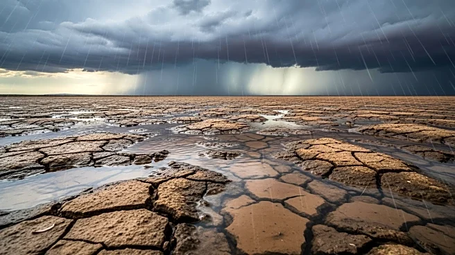
water spouts or weak tornadoes. The storm is expected to bring 1 to 2.5 inches of rain to coastal areas and up to 5 inches in the foothills and mountains. Snow is also predicted in Northern California and the Eastern Sierra, with several feet expected in mountainous regions. Residents in burn scar areas are under evacuation warnings due to the risk of debris flows.
Why It's Important?
The storm poses significant risks to public safety and infrastructure, particularly in areas prone to flooding and landslides. The potential for severe weather conditions, including thunderstorms and tornadoes, underscores the need for preparedness and caution among residents. The impact on transportation, with possible road closures and hazardous driving conditions, could disrupt daily activities and economic operations. The storm also highlights the ongoing challenges of managing extreme weather events in a changing climate, emphasizing the need for robust emergency response systems.
What's Next?
Authorities are urging residents to stay informed and prepared for emergencies, particularly those in vulnerable areas. The storm is expected to continue through midweek, with conditions improving by late Thursday. Officials are monitoring the situation closely and may implement additional safety measures as needed. Residents are advised to avoid unnecessary travel and to follow official guidance to ensure their safety during the storm.