



What's Happening?
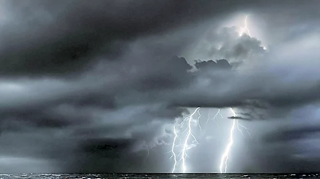
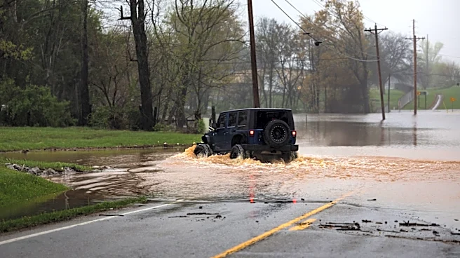
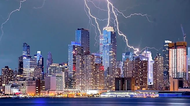
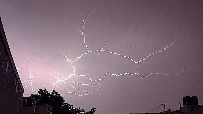
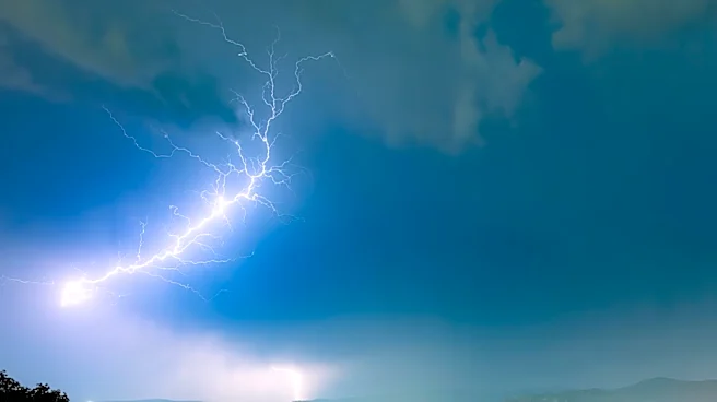
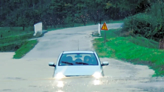
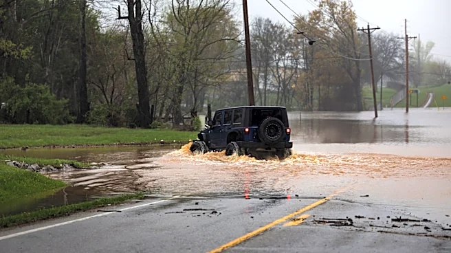
Iowa is experiencing a period of heavy rain and thunderstorms due to a slow-moving cold front. This weather pattern is expected to continue through Wednesday, with localized flash flooding posing a significant risk, especially in urban areas. While rural
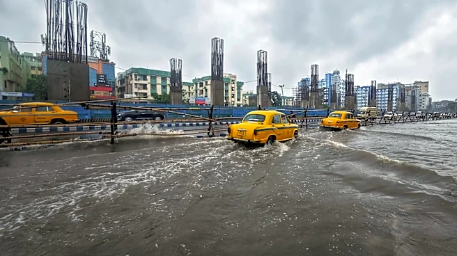
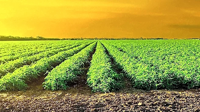
areas with dry soils and mature crops can absorb much of the rainfall, cities are more vulnerable due to inadequate drainage systems. The forecast predicts 1 to 3 inches of rain, with some areas potentially receiving more if storms repeatedly pass over the same locations.
Why It's Important?
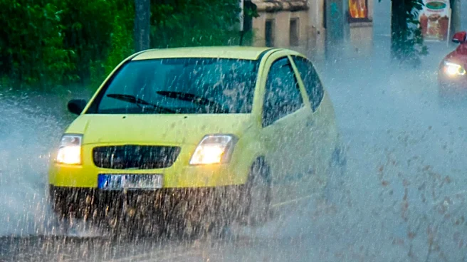
The heavy rainfall and potential for flash flooding in Iowa could disrupt daily life, particularly in urban areas where infrastructure may struggle to cope with the volume of water. This situation highlights the need for improved urban planning and flood management strategies. The agricultural sector, while benefiting from the rain, must also be cautious of potential crop damage if flooding occurs. The economic impact could extend to transportation and local businesses, emphasizing the importance of preparedness and resilience in the face of extreme weather.
What's Next?
As the weather system moves through Iowa, residents and local authorities will need to remain vigilant and responsive to changing conditions. The state is expected to see a return to drier weather later in the week, providing a reprieve from the rain. However, the potential for future storms remains, and ongoing monitoring and adaptation will be crucial to mitigate the impacts of such weather events.