



What's Happening?
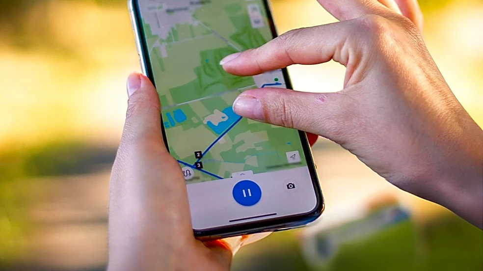
The Humanitarian OpenStreetMap Team (HOT) has established a locally led initiative in Syria, known as ReMapping Syria, to build a sustainable open mapping community. This project aims to continuously update and improve geographic information in Syria, where
infrastructure and urban environments have undergone significant changes. The initiative focuses on creating a collaborative space where individuals from diverse backgrounds, including humanitarian workers, students, and GIS professionals, can contribute to mapping efforts. Unlike traditional training models, ReMapping Syria encourages open discussion, welcomes mistakes, and celebrates learning, fostering an environment where everyone, regardless of their prior experience, can participate. The project has seen volunteers trace roads, update buildings, public facilities, and neighborhoods, and improve data quality, transforming mapping from a technical task into a community-driven effort with humanitarian implications. The goal is to provide up-to-date geospatial data crucial for Syria's recovery and development.
Why It's Important?
This initiative is important because it addresses a critical need for current and reliable geographic data in Syria, a country experiencing significant changes and moving towards recovery. Accurate geospatial information is vital for humanitarian logistics, emergency response, and recovery planning, directly impacting the effectiveness of aid efforts and the ability to rebuild communities. By empowering local individuals to contribute to OpenStreetMap, the project builds local capacity and ownership, ensuring that mapping efforts are sustained beyond the project's lifespan. This community-led approach fosters a sense of purpose among participants, as they see their contributions directly supporting essential services like schools and health facilities. The project also connects local experiences with global humanitarian mapping practices, integrating Syrian volunteers into an international community dedicated to humanitarian action. This not only enhances the quality and relevance of the data but also strengthens social cohesion and provides valuable skills to the Syrian population.
What's Next?
As the ReMapping Syria project concludes, the focus shifts to the continued growth and sustainability of the OSM Syria community. Volunteers are expected to continue mapping and engaging in community discussions, with new initiatives emerging from within the group. The project's legacy is intended to be the ongoing commitment of its members to open knowledge and continuous improvement of geographic data. The community aims to maintain its collaborative spirit, with members supporting each other and knowledge flowing freely. Efforts will also continue to engage with various organizations in Syria, including those involved in humanitarian response, recovery, cultural heritage, education, and public services, to ensure they recognize and utilize the value of open geographic data. The long-term vision is for the OSM Syria community to become a self-sustaining entity that continually updates the living map of Syria, adapting to its evolving urban and social landscape.
Beyond the Headlines
The ReMapping Syria project extends beyond its immediate technical achievements to cultivate deeper societal impacts. It fosters trust and confidence among participants, transforming individuals who initially doubted their ability to contribute into community leaders. This initiative highlights the ethical dimension of open knowledge, emphasizing that geographic information should be accessible and serve the people, rather than being exclusively produced by professionals. Culturally, it promotes a collaborative spirit and a sense of shared responsibility, demonstrating how collective action can lead to significant improvements in a country's infrastructure and social fabric. The project's emphasis on community building over mere data collection suggests a long-term shift towards empowering local populations to shape their own future through information. This model could serve as a blueprint for other regions facing similar challenges, illustrating how technology, when coupled with community engagement, can drive sustainable development and resilience.