





What's Happening?
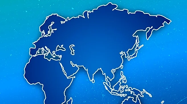
The US State Department has admitted to an 'unfortunate error' after a map presented at a global conference in Brazil misrepresented several African countries. The map, used during a presentation on new health agreements, incorrectly placed Nigeria in the
Sahara Desert and Mozambique in the Horn of Africa, among other inaccuracies. The error was attributed to a team member who hastily modified the slides before the event. The map, which contained an artificial intelligence watermark, was likely created using AI tools, according to an analysis by Reuters. The incident has drawn significant online criticism and prompted the State Department to take full responsibility for the confusion caused to attendees, including African partners.
Why It's Important?
This incident highlights the potential pitfalls of relying on hastily prepared materials, especially in international settings where accuracy is crucial. The misrepresentation of African countries on a map during a significant conference could strain diplomatic relations and undermine trust in US-led initiatives. It also underscores the importance of thorough verification processes, particularly when using AI-generated content, to prevent similar errors in the future. The error could impact the perception of US competence in handling international affairs and its commitment to accurate representation of global partners.
What's Next?
The State Department may need to implement stricter review processes for materials used in international presentations to prevent future errors. There could be increased scrutiny on the use of AI tools in official documents, prompting a review of current practices. Additionally, the US may engage in diplomatic efforts to reassure affected countries of its commitment to accurate representation and partnership. This incident could also lead to broader discussions on the role of AI in government operations and the need for human oversight.