

What's Happening?
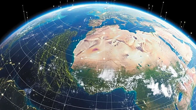
The Global Learning and Observations to Benefit the Environment (GLOBE) Program has introduced a new feature that integrates citizen science with Landsat satellite observations. This initiative allows volunteers worldwide to collect and submit environmental
data, specifically focusing on land cover. Participants use an app-based tool to document land cover through photographs, classify their observations, and compare them with satellite images. As of September, volunteers receive emails comparing their land cover observations with data from Landsat and Sentinel-2 satellites, enhancing the accuracy and utility of ground-truth observations. This development builds on GLOBE's history of matching cloud observations with satellite data, aiming to bridge the gap between space-based remote sensing and ground-based data collection.
Why It's Important?
The inclusion of land cover data in the GLOBE Program is significant for environmental management and disaster risk analysis. Accurate land cover classification is crucial for understanding natural disasters like floods, wildfires, and landslides. It also aids in tracking land use changes over time and mapping wildlife habitats. By involving citizen scientists, the program democratizes data collection, allowing a diverse range of participants to contribute to environmental science. This initiative not only enhances the quality of data available for scientific research but also fosters public engagement and education in Earth system science. The integration with Landsat data ensures that the observations are robust and can be used in national and global land cover classification products.
What's Next?
The GLOBE Program's expansion with Landsat data is expected to continue fostering collaboration between citizen scientists and professional researchers. As more volunteers participate, the dataset will grow, providing richer insights into land cover changes. This could lead to more detailed and accurate environmental models and predictions. The program may also inspire similar initiatives in other areas of environmental science, leveraging citizen science to enhance data collection and analysis. Continued updates and improvements to the app-based tool could further streamline the process, making it easier for participants to contribute valuable data.