


What's Happening?
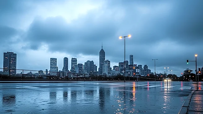
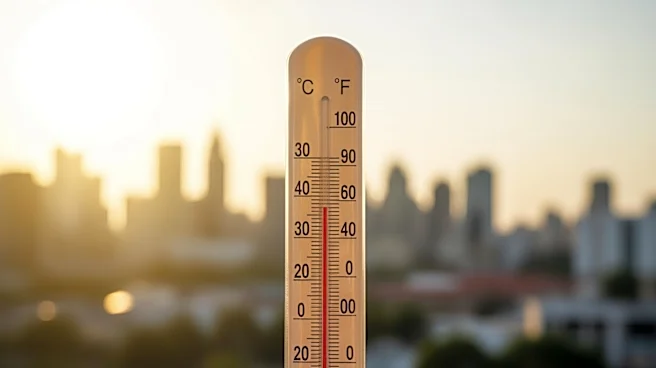
The New York City area is experiencing a significant weather shift following a week of record-setting 90-degree heat. A cold front is expected to move through the region, bringing rain starting Saturday night and continuing sporadically through Sunday
afternoon. Temperatures will drop significantly, with afternoon highs only reaching the low 50s from Sunday through Tuesday. Overnight lows are predicted to fall into the 30s by Tuesday morning. Despite the colder temperatures, the rain is expected to taper off by late Sunday afternoon, with brighter skies anticipated for Monday and Tuesday.
Why It's Important?
This abrupt change in weather conditions is significant as it affects the daily lives of residents and could impact travel plans, especially during the weekend. The drop in temperature and the return of rain may disrupt outdoor activities and events planned for the weekend. Additionally, the shift from record heat to colder temperatures highlights the volatility of spring weather patterns in the region, which can have broader implications for local agriculture and energy consumption as heating needs may temporarily increase.