









What's Happening?
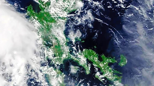
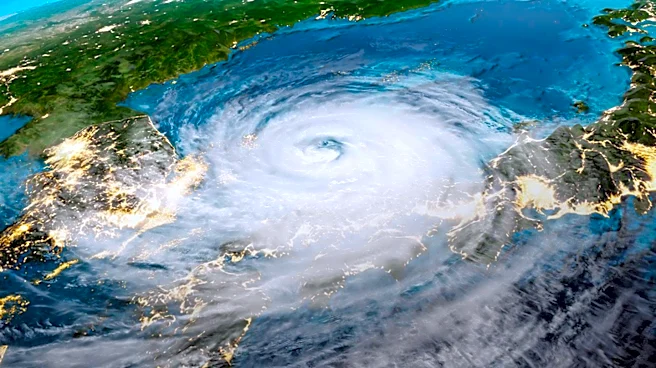
The Central Weather Administration (CWA) has announced that Typhoon Dolphin could bring heavy rain to northern Taiwan later next week. The storm is currently moving towards the Ryukyu Islands, but its path remains uncertain. Forecast models suggest two
possible scenarios: one where the typhoon passes north of Taiwan, and another where it curves towards the Korean Peninsula if the Pacific high pressure system weakens. A tropical depression east of the Philippines may strengthen into Typhoon Kujira, but it is expected to weaken by Tuesday, with its moisture likely absorbed by Typhoon Dolphin. The CWA forecasts localized heavy rain in northern Taiwan and central mountain areas on Saturday and Sunday, with torrential rain possible in northern mountain areas.
Why It's Important?
The potential impact of Typhoon Dolphin on Taiwan is significant due to the possibility of heavy rainfall and the associated risks of flooding and landslides. Such weather events can disrupt daily life, affect infrastructure, and pose challenges to emergency services. The uncertainty in the storm's path highlights the importance of preparedness and monitoring by local authorities and residents. The situation underscores the need for effective communication and response strategies to mitigate potential damage and ensure public safety.
What's Next?
As the situation develops, the CWA will continue to monitor Typhoon Dolphin's path and provide updates. Authorities may issue a sea warning if the storm's trajectory poses a direct threat to Taiwan. Residents in affected areas should stay informed through official channels and prepare for possible adverse weather conditions. Emergency services and local governments are likely to coordinate efforts to manage any potential impacts, including deploying resources for flood prevention and response.