


What's Happening?
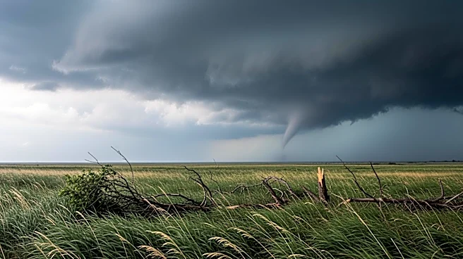
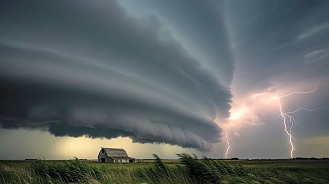
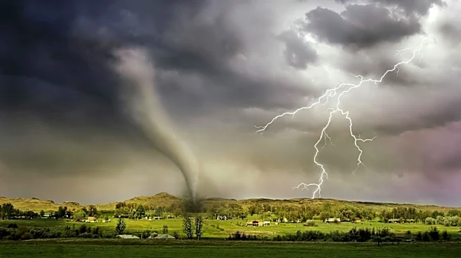
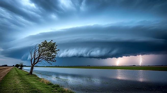
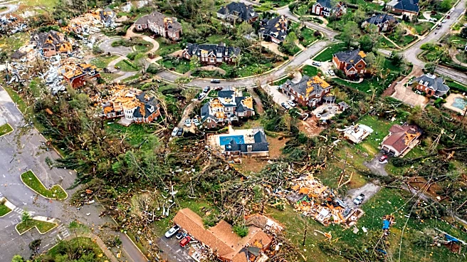
A severe weather outbreak is expected to continue across parts of the Plains and Midwest, posing threats of strong to intense tornadoes, very large hail, damaging winds, and flooding rainfall. The Weather Channel has provided maps and radar to help track
the severe weather conditions. The outbreak is characterized by high levels of Convective Available Potential Energy (CAPE), which indicates atmospheric instability conducive to thunderstorm development. Wind shear, a change in wind speed or direction with height, is also contributing to the potential for severe storms. The threat is expected to persist into Tuesday, although the risk of tornadoes may decrease.
Why It's Important?
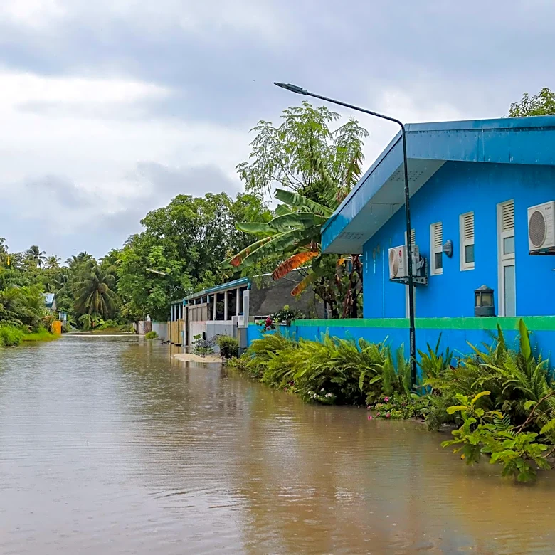
The severe weather poses significant risks to communities across the Plains and Midwest, potentially leading to property damage, power outages, and disruptions to daily life. The threat of tornadoes and flooding can result in loss of life and significant economic impacts, particularly in agricultural areas. Emergency services and local governments may need to prepare for rapid response to any incidents, and residents are advised to stay informed and take necessary precautions. The ongoing severe weather highlights the importance of accurate forecasting and public awareness in mitigating the impacts of natural disasters.
What's Next?
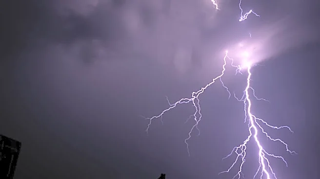
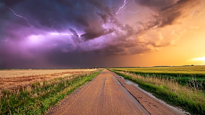
Severe thunderstorms are expected to continue into Tuesday, affecting areas from the Southern Plains to the Great Lakes. While the tornado threat may be lower, the potential for damaging winds and hail remains. Residents in affected areas should monitor weather updates and be prepared for possible emergency situations. Local authorities may issue warnings and advisories as conditions develop, and it is crucial for communities to remain vigilant and responsive to changing weather patterns.