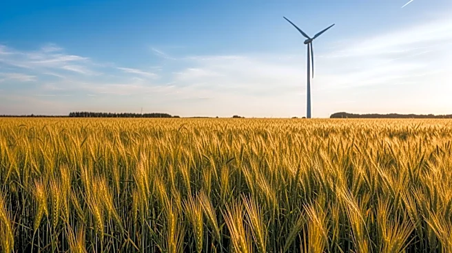


What's Happening?
NASA, in collaboration with the University of Mississippi and the U.S. Department of Agriculture’s National Sedimentation Laboratory, has enhanced the Agricultural Integrated Management System (AIMS) by integrating satellite data. This project aims to fill
data gaps in watershed management by using NASA's remotely sensed data to model moisture and other conditions on the ground. The AIMS platform now includes data from the North American Land Data Assimilation System, Phase 2 (NLDAS-2), which provides near real-time land-surface modeling data. This integration allows for improved simulations of runoff, sediment, and agricultural pollution loadings, aiding in better land management and water quality decisions.
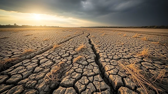
Why It's Important?
The integration of NASA's satellite data into AIMS represents a significant advancement in environmental management. By providing comprehensive and reliable data, the platform enables farmers, land managers, and policymakers to make informed decisions about land use and water resource management. This is particularly crucial in areas where local climate observations are sparse, ensuring that agricultural practices can be optimized to protect water quality and manage agricultural impacts effectively. The project underscores the importance of using advanced technology to address environmental challenges and improve sustainability in agriculture.
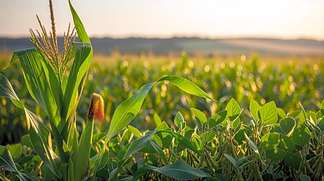
What's Next?
The continued development and deployment of AIMS 3.0 will likely lead to broader adoption across the U.S., particularly in regions facing water management challenges. As more stakeholders integrate this tool into their decision-making processes, it could lead to more sustainable agricultural practices and improved water quality nationwide. Future updates may include additional datasets and functionalities to further enhance the platform's capabilities.