



What's Happening?
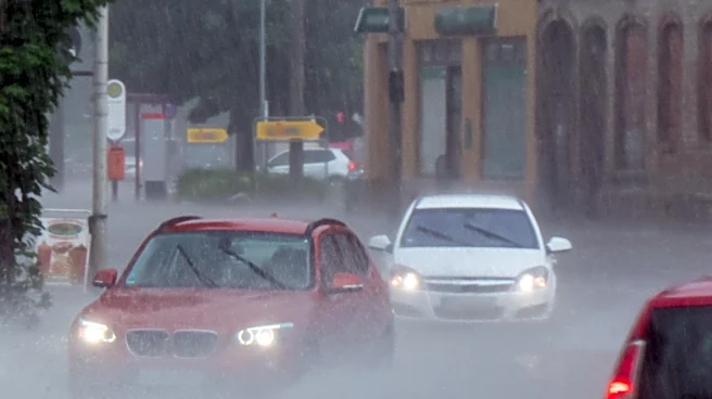
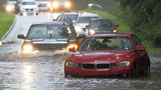
The Midwest region of the U.S. is currently experiencing an elevated threat of flash flooding, particularly in areas like Chicago, Milwaukee, and Indianapolis. This situation is primarily due to a stalled frontal boundary combined with a persistent heat
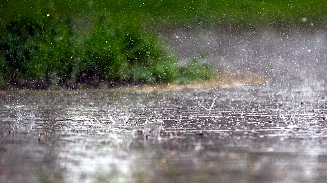
dome located in the Southeast. These meteorological conditions are leading to continuous rounds of heavy rain and storms across the affected areas. Regions including eastern Iowa, southern Wisconsin, northern Illinois, northwest Indiana, and southwest Michigan are under a moderate risk of flash flooding. Flood watches have been issued and are expected to remain in effect through Sunday morning. Localized heavy downpours are anticipated to cause isolated flash flooding impacts, especially in areas with poor drainage, throughout Sunday. The rainfall is a result of storms traveling around the outer rim of the heat dome, causing any approaching fronts to slow down and release their moisture over the same Midwestern areas.
Why It's Important?
This ongoing flood threat carries significant implications for the affected Midwestern states. Economically, agricultural sectors, particularly corn and soybean harvests, are being complicated by the wet weather, potentially leading to delays and crop damage. For urban centers like Chicago, Milwaukee, and Indianapolis, flash flooding can disrupt daily life, impact transportation, and cause property damage. The repeated downpours on already saturated ground increase the risk of both flash flooding and potential river flooding, which can lead to long-term infrastructure damage and costly repairs. The persistent nature of the weather pattern, driven by the heat dome, suggests that these communities may face prolonged challenges, affecting local businesses, emergency services, and residents' safety. The continuous threat highlights the vulnerability of urban and agricultural areas to extreme weather events and the need for robust flood mitigation strategies.
What's Next?
The heavy rain threat is expected to linger from northern Illinois through northern Indiana and western Ohio, potentially spreading into parts of the Northeast. With the ground already saturated from previous rainfall, flooding will remain a significant concern across the corridor from Chicago to Columbus. Localized heavy downpours could continue to cause isolated flash flooding impacts, particularly in poor-drainage areas. Authorities will likely continue to issue flood watches and warnings as the situation evolves, advising residents to stay informed and take necessary precautions. Emergency services will remain on alert to respond to any flood-related incidents. The focus will be on monitoring rainfall totals and river levels to anticipate and mitigate further damage, with drier weather not expected to become widespread until around Tuesday for many Northeast communities.
Beyond the Headlines
The recurring flood events in the Midwest, exacerbated by phenomena like persistent heat domes, underscore broader climate-related challenges. While not explicitly stated as climate change, the pattern of stalled weather systems and intense rainfall aligns with projections of more extreme weather events. This situation highlights the need for long-term urban planning and infrastructure development that accounts for increased flood risks. Communities may need to invest in improved drainage systems, flood barriers, and early warning systems. Furthermore, the impact on agriculture could prompt discussions about resilient farming practices and crop diversification to withstand unpredictable weather. The continuous strain on emergency services and local economies could also lead to policy debates on federal aid and disaster preparedness, emphasizing a shift towards proactive adaptation strategies rather than solely reactive responses to natural disasters.