


What's Happening?
The National Weather Service has issued a severe thunderstorm watch for several counties in the Chicago area, including Cook, DeKalb, DuPage, Grundy, Kane, Kankakee, Kendall, Lake, LaSalle, McHenry, and Will in Illinois, as well as Jasper, Lake, Newton,
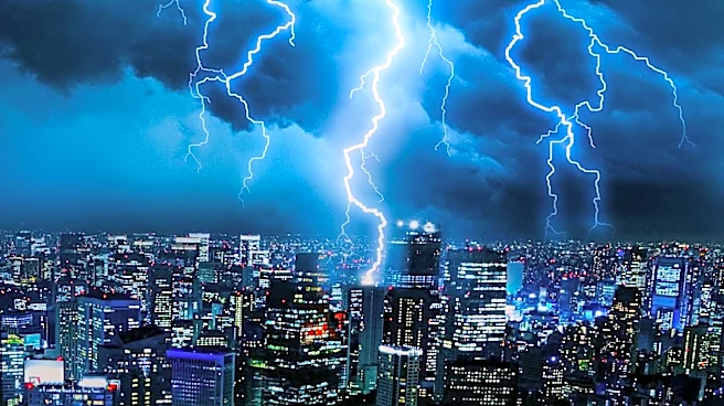
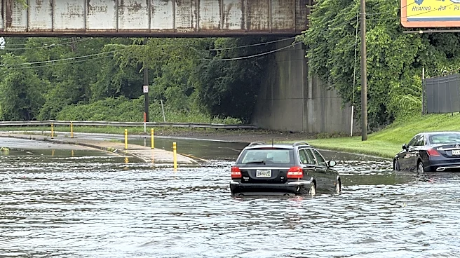
and Porter in northwest Indiana. This watch is in effect until 4 a.m. The region is under a 'slight' risk of severe weather, which is the second level in a five-tier system used by the Storm Prediction Center. Forecast models indicate the potential for heavy rains, gusty winds, damaging hail, and a non-zero risk of tornadoes. Multiple flood advisories have been issued following several rounds of storms, and residents are advised to stay informed through real-time alerts available via the NBC Chicago app.
Why It's Important?
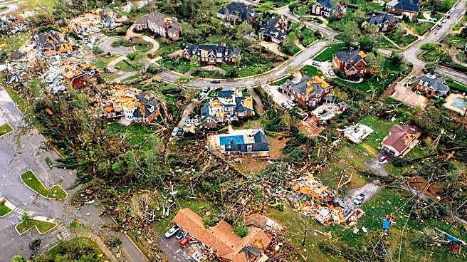
The severe weather conditions pose significant risks to public safety and infrastructure in the Chicago area. Heavy rains can lead to localized flooding, impacting transportation and potentially causing property damage. Gusty winds and hail can damage buildings, vehicles, and power lines, leading to power outages and increased emergency response needs. The possibility of tornadoes, although low, adds an additional layer of risk that requires vigilance from residents and emergency services. The situation underscores the importance of preparedness and timely communication in mitigating the impacts of severe weather events.