




What's Happening?
Southern Maryland and nearby beaches are at risk of severe weather as a frontal boundary moves south, following a day of heavy rainfall and tornado warnings in the region. The National Weather Service has issued alerts for potential damaging winds and localized
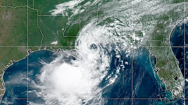
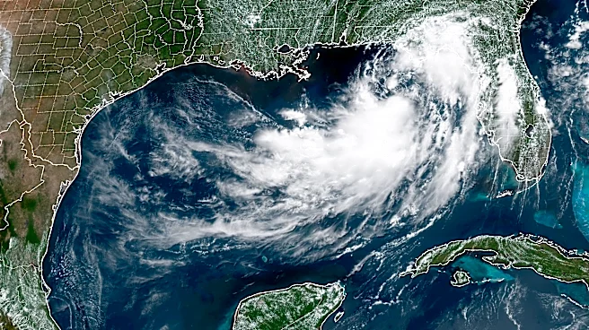
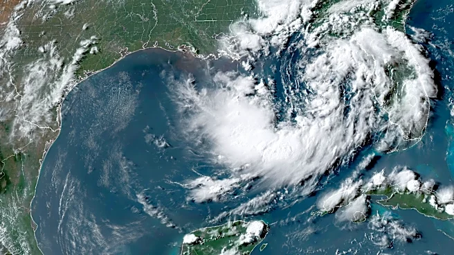
flooding. The area experienced significant rainfall, with some locations receiving over 5 inches, leading to local flooding. The weather pattern is expected to bring cooler temperatures, reminiscent of early autumn, over the next few days. Meanwhile, Tropical Storm Bertha is impacting the Gulf Coast, with potential flooding in New Orleans.
Why It's Important?
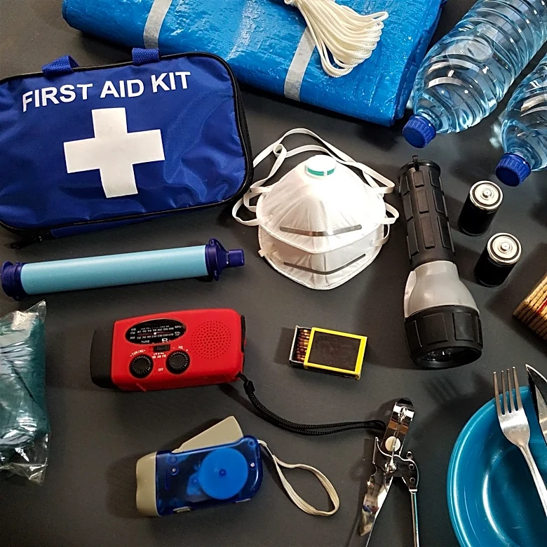
The shifting weather patterns in Southern Maryland highlight the region's vulnerability to severe weather events, which can disrupt daily life and pose risks to public safety. The potential for damaging winds and flooding necessitates preparedness measures from residents and local authorities. This situation underscores the importance of effective communication and response strategies to mitigate the impact of severe weather. Additionally, the cooler temperatures following the storm may provide temporary relief from summer heat, affecting energy consumption and outdoor activities.