


What's Happening?
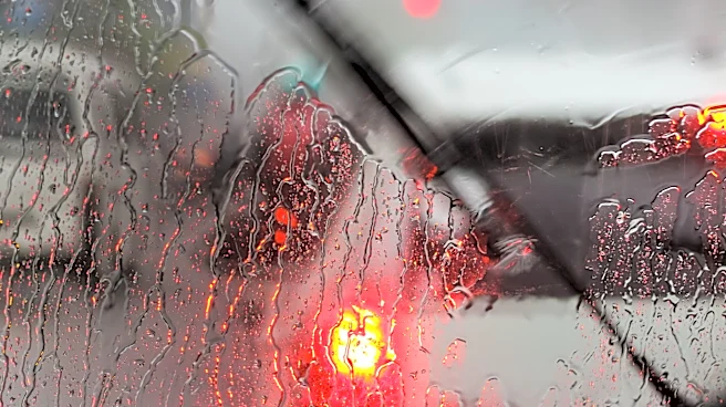
The Twin Cities area is bracing for multiple rounds of showers and thunderstorms on Wednesday. According to the weather forecast, morning rain is expected to intensify into stronger afternoon storms, which could bring damaging winds, large hail, and possibly
an isolated tornado, particularly in southern Minnesota. The window for severe weather is anticipated between 1 p.m. and 5 p.m., with a marginal risk in the Twin Cities that increases further south. In addition to the rain, temperatures are expected to remain below average, with highs in the 60s and 70s. The weather is expected to improve over the weekend, with more sunshine and a gradual warming trend, although some passing showers may occur on Sunday.
Why It's Important?
The severe weather forecast for the Twin Cities could have significant implications for residents and local infrastructure. The potential for damaging winds and large hail poses a risk to property, vehicles, and outdoor activities. Additionally, the threat of an isolated tornado could lead to emergency preparedness measures and disruptions in daily life. The below-average temperatures may also affect agricultural activities and energy consumption patterns. As the region prepares for these weather conditions, local authorities and residents may need to take precautionary measures to mitigate potential damage and ensure safety.
What's Next?
As the severe weather approaches, local authorities and emergency services are likely to monitor the situation closely and provide updates to residents. Precautionary measures, such as securing outdoor items and staying informed about weather alerts, will be important for minimizing risks. The weather is expected to improve over the weekend, offering some relief and allowing for recovery and assessment of any damage caused by the storms. Residents should stay tuned to local news and weather updates for the latest information and safety recommendations.