





What's Happening?
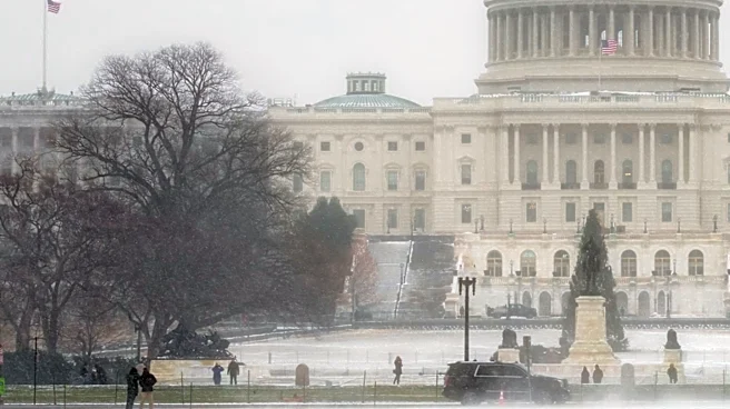
The eastern United States is preparing for its first snowfall of the season and the coldest air in months, following a developing storm system. A low-pressure system is expected to form across the Midwest on Wednesday and strengthen as it moves east,
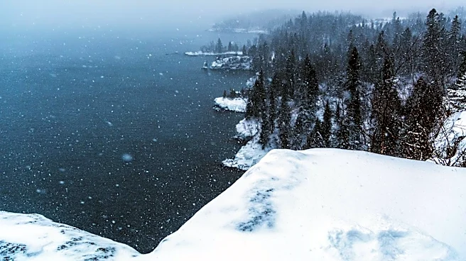
bringing blustery and sloppy conditions from the Midwest to the Mid-Atlantic and into coastal parts of the Northeast. Behind this storm, a significant cold snap is anticipated for areas east of the Mississippi River, with temperatures dropping 5 to 15 degrees Fahrenheit below average. Many regions will experience their coldest weather since last spring, with sub-freezing temperatures expected in parts of the Deep South by Friday and Saturday. The cold will firmly settle over the Midwest, from Minnesota to Ohio, keeping temperatures in the 40s from Thursday through the weekend. High elevations in the Interior Northeast are likely to see their first snowfall, and lake-effect snow is expected in the Great Lakes region.
Why It's Important?
This impending weather event is significant for nearly 200 million people east of the Mississippi, who will experience a dramatic shift to colder temperatures. The sudden drop in temperatures, coupled with the first snowfall in many areas, poses immediate challenges for public safety, transportation, and infrastructure. For regions less accustomed to early winter conditions, such as parts of the Deep South and central Florida, the first freeze could impact agriculture and require residents to take precautions against freezing pipes. The potential for gusty winds and coastal flooding in the Northeast, even if not as severe as previous events, could still disrupt daily life and strain emergency services. The activation of lake-effect snow in the Great Lakes also signals the beginning of a potentially hazardous winter driving season, impacting travel and commerce in those areas.
What's Next?
The storm is expected to bring soggy weather from the Midwest to parts of the Northeast, with rain potentially mixing with or changing over to wet snow in the interior Northeast by Thursday night. While major cities along the I-95 corridor, including Washington, D.C., Philadelphia, and New York City, are primarily expected to see widespread rain, accumulating snow is most likely in the mountains of northern New England, upstate New York, and the Appalachians. The cold snap, though intense, is not expected to have long-term staying power, with above-average temperatures projected to return next week in much of the eastern half of the nation. This brief but sharp cold plunge serves as a precursor to a winter that may be dominated by a 'Super El Niño,' suggesting that residents should remain vigilant and prepared for fluctuating weather conditions throughout the season.
Beyond the Headlines
The early arrival of cold weather and snow in the eastern U.S. highlights the complex and often unpredictable nature of winter weather patterns, especially under the influence of phenomena like El Niño. While this particular cold snap is brief, it underscores the broader challenge of climate variability and its impact on regional weather. The need for communities and individuals to adapt to rapid temperature swings and varied precipitation types, from heavy rain to wet snow, becomes increasingly critical. This event could also serve as a test for local infrastructure and emergency response systems, revealing areas that need improvement in preparing for and responding to sudden winter conditions. The 'tease of winter' could prompt earlier-than-usual winterization efforts by homeowners and businesses, potentially boosting demand for related services and products.