
What's Happening?
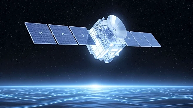
The Copernicus Sentinel-6B Earth-observation satellite has been successfully launched from the Vandenberg Space Force Base in California by a Falcon 9 vehicle operated by SpaceX. Thales Alenia Space, a joint
venture between Thales and Leonardo, supplied key components for the satellite, including the Poseidon-4 radar altimeter. Sentinel-6B is part of the European Union's Copernicus program, which involves collaboration between the European Commission, ESA, Eumetsat, NASA, and NOAA. The satellite will orbit in tandem with Sentinel-6 Michael Freilich for one year to calibrate the missions before taking over. This mission aims to provide continuous sea level data through at least 2030, crucial for monitoring climate change and protecting coastal communities.
Why It's Important?
With 10% of the global population living less than 10 meters above sea level, monitoring sea level rise is critical. The Sentinel-6B satellite will provide precise radar altimetry data, measuring ocean topography every 10 days with sub-centimeter accuracy. This data is vital for informing climate policies and protecting millions of people from the consequences of rising sea levels. It also supports emergency responders and urban planners in managing disaster risks and infrastructure safety. The successful launch underscores the importance of international collaboration in addressing global environmental challenges.
What's Next?
Sentinel-6B will operate in low Earth orbit at an altitude of 1,336 km with a design life of seven years. It will continue the work of its predecessor, Sentinel-6 Michael Freilich, ensuring the continuity of high-precision ocean topography data. The satellite's data will be used to inform climate policies and support emergency management services. Thales Alenia Space will continue to contribute to the Copernicus program, with involvement in 11 of its 12 missions, focusing on various aspects of Earth observation and environmental monitoring.
Beyond the Headlines
The launch of Sentinel-6B highlights the growing importance of satellite technology in climate science and environmental monitoring. The collaboration between multiple international agencies and companies reflects a broader trend towards global cooperation in space exploration and Earth observation. This mission also emphasizes the role of advanced radar altimetry in understanding ocean dynamics and climate change, providing critical data for scientific research and policy-making.