




What's Happening?
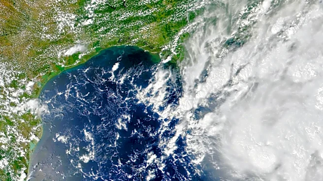
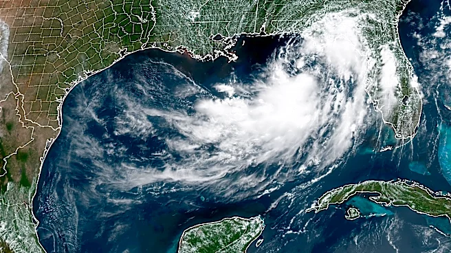
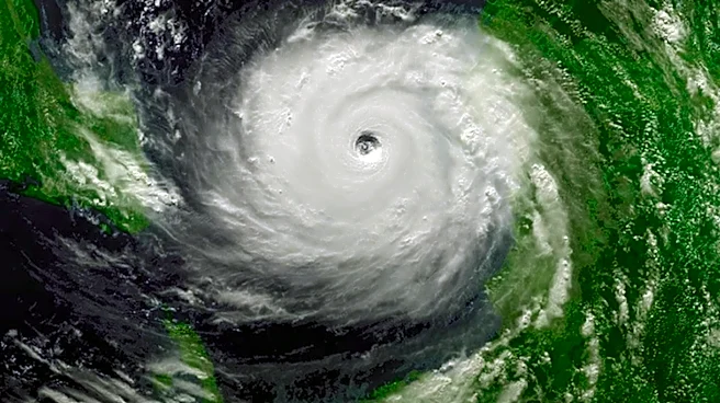
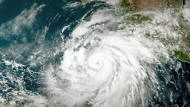
Tropical Storm Bertha has formed in the Gulf of Mexico, posing a threat to the Gulf Coast with heavy rain and potential flooding. The storm, which developed from Tropical Depression Two, is moving west-northwest at about 3 mph with maximum sustained winds
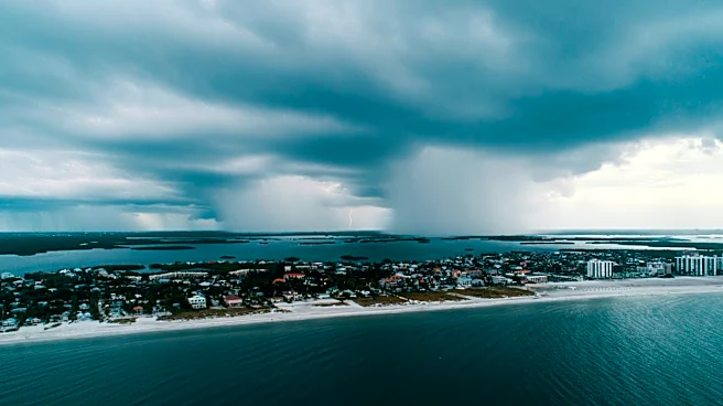
of 40 mph. A Tropical Storm Watch is in effect from the Ochlockonee River in Florida to the Jefferson/Plaquemines Parish border in Louisiana. The storm is expected to bring up to 8 inches of rain in some areas, with the potential for flash flooding and storm surges up to 4 feet along the coast.
Why It's Important?
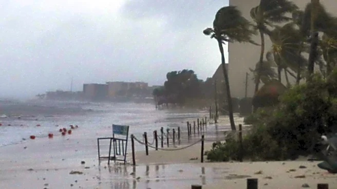
The emergence of Tropical Storm Bertha highlights the ongoing threat of severe weather during the Atlantic hurricane season. The storm's potential to cause significant rainfall and flooding poses risks to communities along the Gulf Coast, including Florida, Alabama, Mississippi, and Louisiana. These areas could experience disruptions to daily life, economic activities, and infrastructure. The storm's impact could be exacerbated by its slow movement, leading to prolonged periods of heavy rain and increased flooding risks.
What's Next?
As Tropical Storm Bertha progresses, additional weather advisories may be issued, and residents in the affected areas are urged to stay informed and prepare for possible evacuations. Emergency management agencies will continue to monitor the storm's development and provide updates to the public. The storm's path and intensity will determine the extent of its impact on the Gulf Coast, with potential for further strengthening as it approaches land.