





What's Happening?
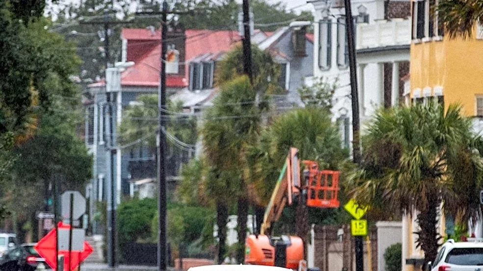
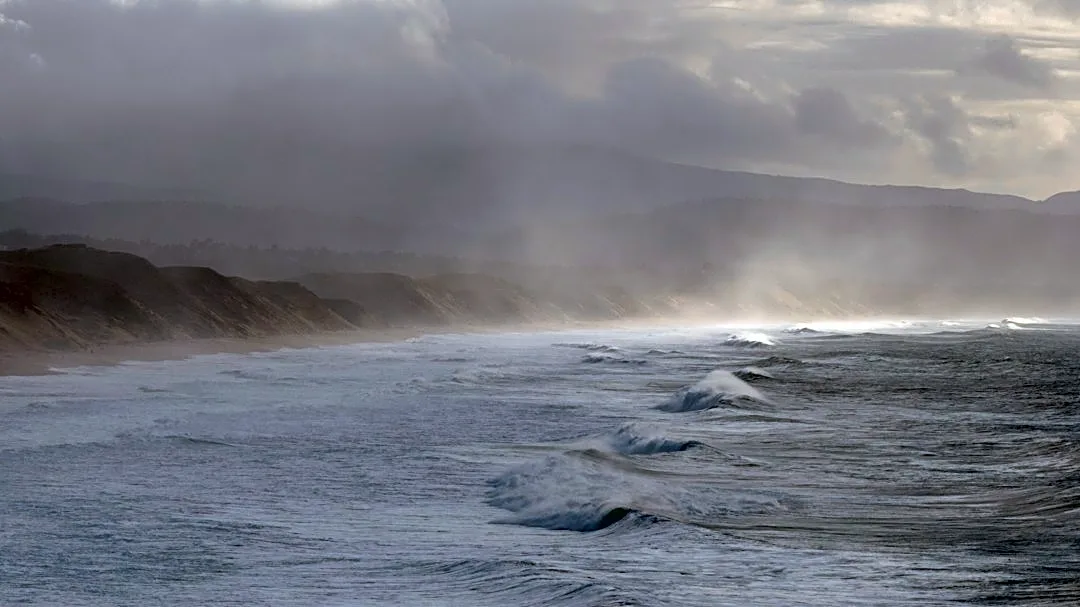
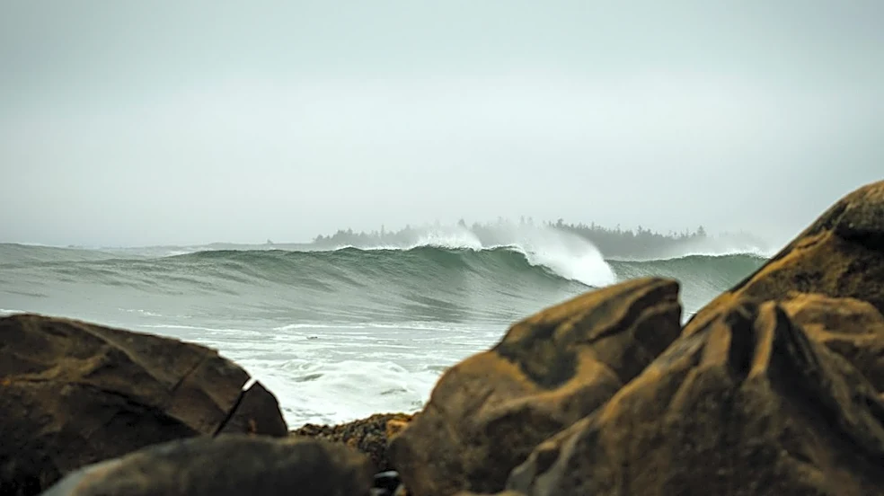
Jacksonville, Florida is currently experiencing coastal hazards, including tidal flooding, rough surf, and an increased risk of rip currents, due to a strong northeasterly wind flow. News4JAX Meteorologist Chris Holtzman reported that Monday will feature
mostly cloudy skies and breezy conditions, with highs near 70 degrees Fahrenheit. Wind gusts could reach up to 30 mph, particularly along the coast. An area of high pressure is expected to remain north of the region throughout the upcoming week, maintaining the northeasterly wind, which will keep humidity low and temperatures below normal. Despite these conditions, the latest drought monitor indicates an improvement across the area, with several regions downgraded to the lowest category of abnormally dry. Further rainfall this week is anticipated to lead to additional improvements in the drought outlook.
Why It's Important?
The ongoing coastal hazards in Jacksonville, Florida, have significant implications for residents, local businesses, and infrastructure. Tidal flooding can disrupt daily commutes, damage coastal properties, and impact commercial activities reliant on access to the waterfront. The rough surf and heightened risk of rip currents pose serious safety concerns for beachgoers and marine enthusiasts, potentially leading to increased rescue operations and strain on emergency services. For the local economy, particularly tourism and fishing industries, these conditions can result in reduced activity and revenue. While the region benefits from improved drought conditions, the persistent northeasterly winds and associated coastal issues highlight the vulnerability of coastal communities to weather patterns and the need for effective preparedness and mitigation strategies. The sustained below-normal temperatures and low humidity, while offering some relief from typical Florida heat, underscore a shift in local weather patterns that could influence energy consumption and agricultural practices.
What's Next?
The strong northeasterly wind is expected to persist through most of the upcoming week, maintaining the current coastal hazards. Residents and visitors in Jacksonville should continue to monitor weather advisories from News4JAX and local authorities regarding tidal flooding, surf conditions, and rip current risks. High pressure building into the area will bring more sunshine later in the week, but the wind pattern is projected to keep temperatures below normal and humidity low. Emergency services and coastal management agencies will likely remain on alert to address any impacts from the rough surf and potential flooding. Businesses in coastal areas may need to adjust operations based on the severity of the conditions. The continued rainfall is expected to further alleviate drought conditions, which will be a positive development for water resources and agriculture in the region.
Beyond the Headlines
The recurring nature of tidal flooding and coastal hazards in areas like Jacksonville points to broader challenges related to climate change and sea-level rise. While this specific event is attributed to a northeasterly wind flow, the long-term trend of increasing tidal flooding events can exacerbate the impact of such weather patterns. This situation underscores the need for long-term coastal resilience planning, including infrastructure improvements, updated building codes, and community-wide adaptation strategies. The interplay between natural weather phenomena and ongoing environmental changes creates a complex risk landscape for coastal communities. Furthermore, the improved drought conditions, while positive, highlight the unpredictable variability in weather patterns, where one region can experience flooding while another grapples with water scarcity, emphasizing the importance of comprehensive water management policies.