






What's Happening?
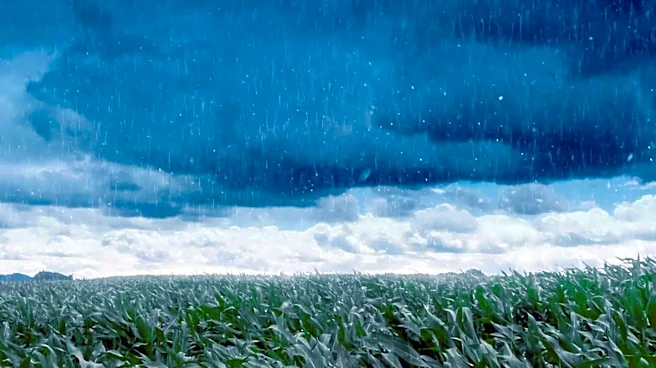
Heavy rainfall in early November has brought significant relief to drought-stricken areas across the Northland, encompassing parts of Minnesota and Wisconsin. According to the U.S. Drought Monitor, Minnesota saw a reduction in areas experiencing at least
"abnormally dry" conditions from 80% to less than 40% by November 10. Carlton County, Minnesota, specifically improved from "severe" and "extreme" drought statuses to "abnormally dry" and "moderate." While more than half of Wisconsin remained in some level of drought, the severity lessened in many areas, with Douglas County seeing a reduction in "extreme" and "exceptional" drought zones to "moderate" and "severe." The Minnesota Climatology office described the event as likely the wettest November storm on record for the state, with some areas like Lutsen and Keewatin receiving over 5 inches of rain in 72 hours.
Why It's Important?
This significant rainfall is crucial for mitigating the long-term impacts of drought that have affected the region since spring, intensifying through a hot summer. The improved moisture levels are vital for agricultural sectors, potentially replenishing soil moisture for future growing seasons and reducing stress on crops and livestock. Environmentally, the rain helps to restore water levels in lakes, rivers, and wetlands, which are essential for local ecosystems and wildlife. The previous dry conditions contributed to and intensified summer wildfires, particularly in and around the Boundary Waters Canoe Area Wilderness; this rainfall reduces the immediate risk of further fire outbreaks. Economically, reduced drought conditions can alleviate financial burdens on farmers and related industries, contributing to regional stability. However, long-term multi-year rainfall deficits still impact Eastern Minnesota and Northwestern Wisconsin, indicating that ongoing monitoring and water conservation efforts remain important.
What's Next?
While the recent rainfall has provided substantial relief, the long-term outlook remains a focus. The State Climatology Office noted the influence of a strong El Niño, which could lead to higher-than-normal winter temperatures in the Northland. Precipitation through January has an equal to slightly reduced chance of reaching normal amounts, with the form of precipitation (snow or rain) depending on temperatures. Meteorologists anticipate continued mild temperatures in the coming week, with rain returning before a potential transition to snow or mixed precipitation by the following weekend. Continued monitoring of drought conditions by the U.S. Drought Monitor will be essential to track recovery and identify any emerging dry signals, especially given the existing multi-year rainfall deficits in some areas.
Beyond the Headlines
The extreme weather event highlights the increasing variability in precipitation patterns, potentially linked to broader climate trends. The rapid shift from severe drought to record-breaking rainfall underscores the challenges in water management and agricultural planning. The influence of El Niño on regional weather patterns further emphasizes the interconnectedness of global climate phenomena and local conditions. While beneficial, intense rainfall events can also lead to issues like soil erosion and localized flooding, posing different challenges for infrastructure and land management. This event serves as a reminder of the critical need for robust climate adaptation strategies, including improved water storage, drought-resistant agricultural practices, and early warning systems for extreme weather events, to build resilience in the face of changing climatic conditions.