




What's Happening?
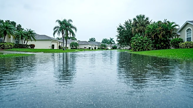
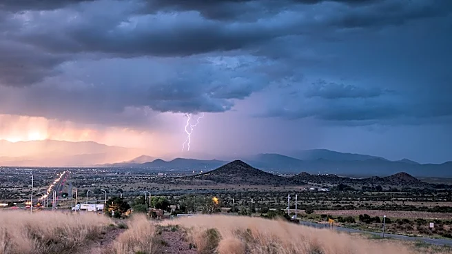
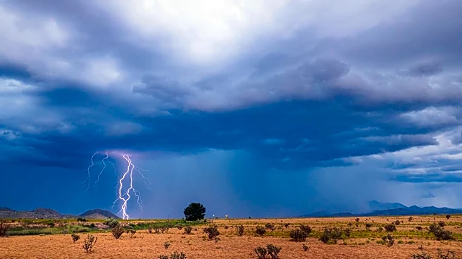
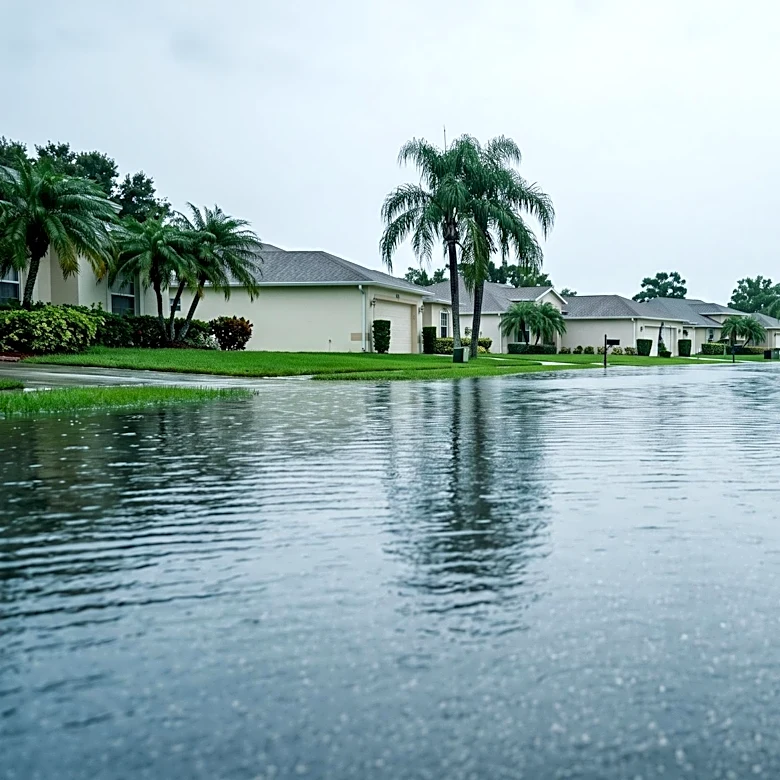
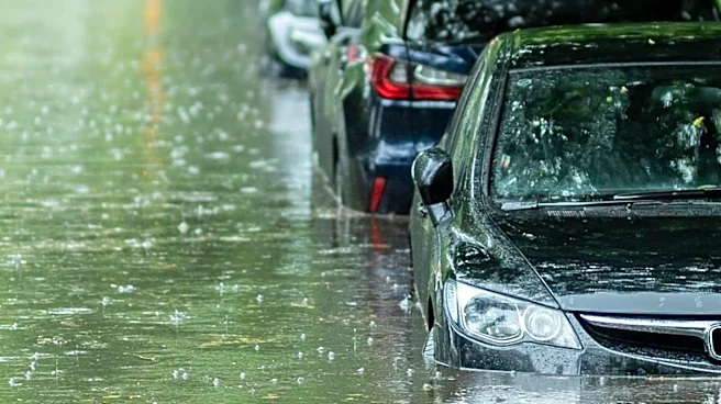
The New Mexico Department of Homeland Security and Emergency Management (DHSEM) has activated the State Emergency Operation Center in anticipation of significant flash flooding across the state. The National Weather Service in Albuquerque forecasts heavy
rainfall and an increased flash flood risk from Tuesday through Thursday. Areas with burn scars from previous wildfires are identified as having a high or very high risk of flooding. Major General Miguel Aguilar, Adjutant General of the NM National Guard and interim Cabinet secretary of DHSEM, emphasized the danger of sudden, heavy rainfall, particularly in burn scar areas, and confirmed that resources are being positioned to respond quickly and effectively to emergencies.
Why It's Important?
The activation of the State Emergency Operation Center underscores the critical importance of proactive disaster preparedness and response, especially in regions vulnerable to flash flooding and post-wildfire hazards. New Mexico's experience highlights how climate-related events, such as wildfires, can exacerbate subsequent natural disasters like floods, creating complex challenges for emergency management. This coordinated state-level response is vital for protecting lives and property, ensuring that resources are deployed efficiently, and providing timely information to residents. The focus on burn scar areas also emphasizes the long-term environmental consequences of wildfires and the need for integrated strategies to address cascading natural hazards.
What's Next?
New Mexico residents are advised to stay informed, pay attention to emergency alerts, and follow safety guidelines, including evacuating if instructed, sheltering in place if not, and avoiding driving or walking through floodwaters. The DHSEM is coordinating with state agencies and pre-positioning equipment and personnel, including New Mexico National Guard Swiftwater teams, in high-risk areas. The state has also delivered 5,000 sandbags across four counties and a mechanical sandbagger to Sandoval County, with more available if requested. The immediate focus will be on monitoring weather conditions, responding to any flooding incidents, and ensuring public safety throughout the forecasted heavy rainfall period.
Beyond the Headlines
This event highlights the increasing frequency and intensity of extreme weather events, which are often linked to broader climate patterns. The vulnerability of burn scar areas to flash flooding is a stark reminder of the interconnectedness of environmental disasters and the long-term impacts of climate change. Beyond immediate emergency response, this situation prompts deeper discussions about sustainable land management, wildfire prevention, and resilient infrastructure development in the face of a changing climate. It also underscores the importance of public education and community preparedness in mitigating the risks associated with such events, fostering a culture of readiness among residents in vulnerable regions.