



What's Happening?
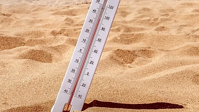
Central Texas is experiencing an unseasonably hot Labor Day weekend, with temperatures consistently reaching triple digits. Austin recorded 102 degrees on Saturday, significantly above the seasonal average of 94 degrees. While this is below the city's
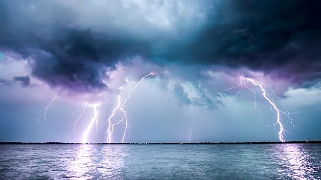
all-time record of 112 degrees, high temperatures are projected to persist into the upcoming week. Sunday began with temperatures in the 70s and low 80s across the region, accompanied by southerly winds bringing humid conditions. There is a slight chance of isolated afternoon showers and thunderstorms on Sunday, primarily fueled by daytime heating and Gulf moisture, with activity expected to peak around 5 p.m. and diminish after sunset. Rainfall is anticipated to be light, with most areas receiving less than a tenth of an inch. For Labor Day, rain chances decrease to 10%, with near-triple-digit highs continuing.
Why It's Important?
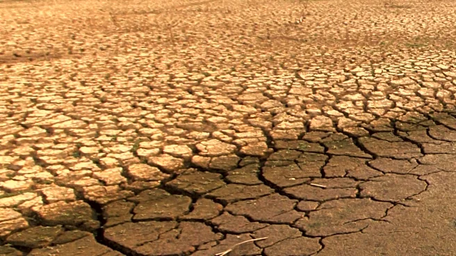
The prolonged period of unseasonably high temperatures poses significant health risks to residents, particularly vulnerable populations such as the elderly, children, and those with pre-existing medical conditions, increasing the likelihood of heat-related illnesses. The persistent heat also places a strain on the region's power grid as demand for air conditioning rises, potentially leading to energy conservation advisories or localized outages. For outdoor workers and those participating in Labor Day activities, the extreme heat necessitates precautions to prevent dehydration and heatstroke. The minimal rainfall expected offers little relief from potential drought conditions, which could impact agriculture and water resources in Central Texas. The extended forecast for above-average temperatures suggests a continued need for public awareness and preparedness regarding heat safety.
What's Next?
Temperatures are expected to remain elevated in the triple digits through the upcoming week, with rain chances hovering around 10% through mid-week and into next weekend. No significant pattern shift is anticipated that would bring widespread drought relief to Central Texas. Long-range climate outlooks for the next 8 to 14 days indicate that temperatures will likely stay above average, while precipitation levels are expected to be near normal for early September. Residents are advised to continue taking precautions against the heat, such as staying hydrated, seeking air-conditioned environments, and avoiding strenuous outdoor activities during peak heat hours. Local authorities may issue further heat advisories or warnings as conditions persist.
Beyond the Headlines
The recurring pattern of unseasonably hot weather in Central Texas aligns with broader climate trends, raising concerns about long-term climate change impacts on regional weather patterns. This persistent heat could influence urban planning decisions, such as the development of more green spaces and cool pavements to mitigate urban heat island effects. It also highlights the importance of robust public health infrastructure to manage heat-related emergencies and public awareness campaigns on heat safety. Economically, sustained high temperatures can affect outdoor industries, tourism, and energy consumption patterns, potentially leading to increased utility costs for consumers. The minimal rainfall outlook also underscores ongoing challenges for water management and conservation efforts in a rapidly growing region prone to drought.