


What's Happening?
China is conducting a comprehensive undersea mapping and monitoring operation across the Pacific, Indian, and Arctic oceans. This effort is aimed at gathering detailed knowledge of marine conditions, which naval experts suggest is crucial for potential
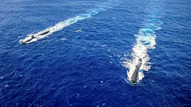
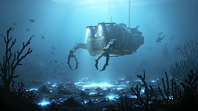
submarine warfare against the United States and its allies. The Dong Fang Hong 3, a research vessel operated by Ocean University of China, has been actively involved in this operation, mapping strategic areas such as the seas near Taiwan, Guam, and the Indian Ocean. The data collected is believed to aid in the deployment and concealment of Chinese submarines, as well as in detecting adversary submarines. This operation involves dozens of research vessels and hundreds of sensors, with some of the surveying also covering fishing grounds and areas with mineral prospecting contracts. However, the integration of civilian scientific research with military technology development, known as 'civil-military fusion,' is a key focus of the Chinese government.
Why It's Important?
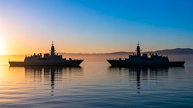
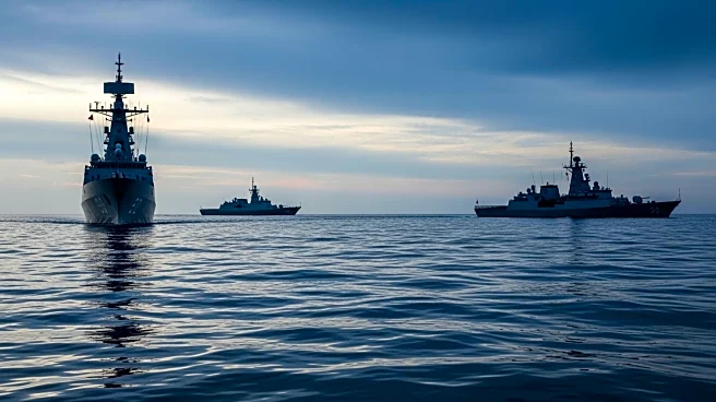
The extensive ocean mapping by China poses a strategic concern for the United States, as it could erode the U.S. Navy's historical advantage in ocean battlespace knowledge. The data collected by Chinese research vessels is critical for submarine operations and anti-submarine warfare, providing insights into underwater terrain, water temperature, salinity, and currents. This information is essential for avoiding collisions, hiding vessels, and detecting submarines. The mapping efforts are particularly focused on militarily important waters around the Philippines, Guam, Hawaii, and U.S. military facilities on Wake Atoll. The scale of China's mapping indicates a desire to develop an expeditionary blue-water naval capability centered around submarine operations. This development could impact U.S. military strategy and necessitate adjustments in naval operations and intelligence gathering.
What's Next?
The U.S. may need to enhance its own ocean mapping and monitoring efforts to maintain its strategic advantage. This could involve increased investment in military vessels and technology capable of countering China's mapping operations. Additionally, diplomatic efforts may be necessary to address the potential military implications of China's activities. The U.S. and its allies might also consider strengthening their presence in strategically important regions to deter any aggressive actions by China. Furthermore, the integration of civilian and military research in China could prompt the U.S. to reassess its own policies regarding the use of scientific research for military purposes.
Beyond the Headlines
China's ocean mapping efforts highlight the broader geopolitical competition between the U.S. and China, particularly in the maritime domain. The integration of civilian and military research underscores the blurred lines between scientific exploration and military strategy in modern geopolitics. This development also raises ethical questions about the use of scientific research for military purposes and the potential environmental impact of extensive ocean mapping. Additionally, the focus on strategic waterways like the Malacca Strait and the South China Sea reflects China's broader ambitions to secure its maritime trade routes and expand its influence in the Indo-Pacific region.