
What's Happening?
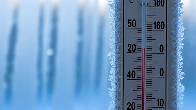
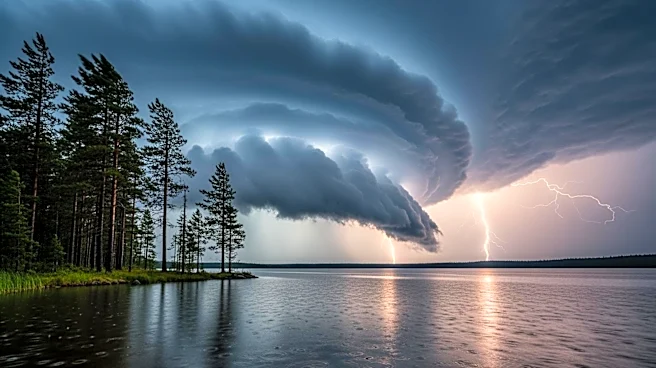
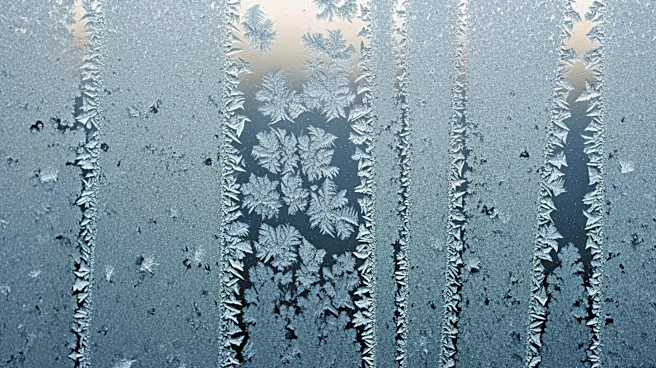
The New York City area is set to experience a return to colder weather, with sub-freezing temperatures expected in the suburbs. After a period of warmer weather, a strong cold front is moving through the region,
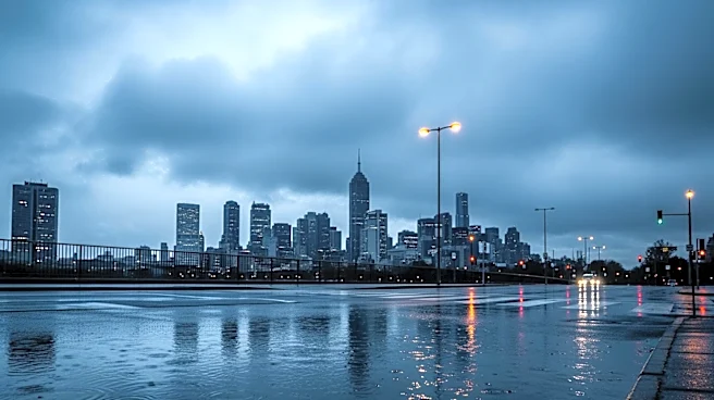
bringing rain showers and a significant drop in temperatures. Coastal Flood Advisories are in effect, with potential flooding along the shoreline. The cold front will cause temperatures to fall from the mid-50s in the morning to the 40s by afternoon, accompanied by increased winds and windchills in the 30s. A Freeze Watch is in place for parts of New Jersey from Monday night into Tuesday morning.
Why It's Important?
The return of cold weather and sub-freezing temperatures could impact daily life in the NYC area, affecting transportation, outdoor activities, and heating demands. The potential for coastal flooding poses a risk to low-lying areas, requiring residents to be vigilant. The shift in weather patterns serves as a reminder of the region's variable climate and the need for preparedness in the face of sudden temperature changes. This weather event could also influence local agriculture, particularly in areas under the Freeze Watch.
What's Next?
Residents in the affected areas should prepare for colder conditions and potential flooding. The weather forecast suggests continued vigilance as the cold front progresses. Local authorities may issue further advisories or warnings as conditions develop. The colder weather pattern is expected to persist into the early part of the week, with residents advised to monitor updates and take necessary precautions.