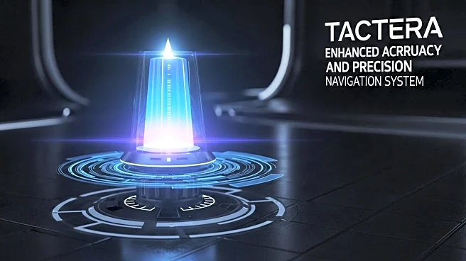

What's Happening?
Flare Bright Ltd, a UK-based company, plans to improve the accuracy of its Tactera GPS-free navigation system from 30 meters to 10 meters by the end of 2025. The system, which integrates with unmanned aircraft systems (UAS), uses a combination of software-enhanced navigation, LIDAR sensors, and digital terrain maps. The company claims the system is immune to jamming and spoofing, making it reliable for intelligence, surveillance, and reconnaissance operations. Flare Bright aims to produce 30 units per month at its new manufacturing facility.
Why It's Important?
The enhancement of Tactera's accuracy is significant for the defense and security sectors, where reliable navigation systems are crucial. By offering a GPS-free solution that is resistant to jamming, Flare Bright addresses key vulnerabilities in traditional navigation systems. This development could lead to increased adoption of Tactera in military and civilian applications, potentially influencing the market for navigation technologies. The ability to operate effectively at low altitudes further expands its utility in various operational scenarios.
What's Next?
Flare Bright's focus on improving Tactera's accuracy suggests ongoing advancements in navigation technology. As the company continues to refine its algorithms, it may explore additional applications for its system beyond UAS integration. Potential collaborations with defense contractors or expansion into new markets could drive further innovation. The company's commitment to production and development indicates a strategic effort to establish Tactera as a leading navigation solution.