
What's Happening?
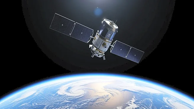
NASA, in collaboration with the European Space Agency (ESA), EUMETSAT, and NOAA, successfully launched the Sentinel-6B satellite aboard a SpaceX Falcon 9 rocket from Vandenberg Space Force Base in California.
The launch occurred at 9:21 p.m. PST on November 16, 2025. Sentinel-6B is designed to measure sea levels with high precision, covering approximately 90% of the world's oceans. This satellite will eventually replace its predecessor, the Sentinel-6 Michael Freilich satellite, as the official reference for global sea level measurements.
Why It's Important?
The successful deployment of Sentinel-6B is crucial for ongoing efforts to monitor global sea levels, which are vital indicators of climate change. Accurate sea level data can inform policy decisions and help mitigate the impacts of rising sea levels on coastal communities. The collaboration between NASA, ESA, EUMETSAT, and NOAA underscores the importance of international cooperation in addressing global environmental challenges. Stakeholders in climate research, environmental policy, and coastal management stand to benefit from the enhanced data provided by Sentinel-6B.
What's Next?
Following the launch, the Falcon 9 rocket will undergo a series of maneuvers to place Sentinel-6B into its final orbital position. The satellite will begin transmitting data that will be used to refine models of sea level rise and improve predictions of future changes. Continued international collaboration is expected to enhance the satellite's capabilities and expand its applications in climate science.
Beyond the Headlines
The launch of Sentinel-6B represents a significant advancement in satellite technology, with its ability to measure sea levels down to an inch. This precision is critical for understanding the nuances of ocean dynamics and their impact on global climate systems. The mission also highlights the role of private companies like SpaceX in facilitating scientific endeavors through reliable launch services.