






What's Happening?
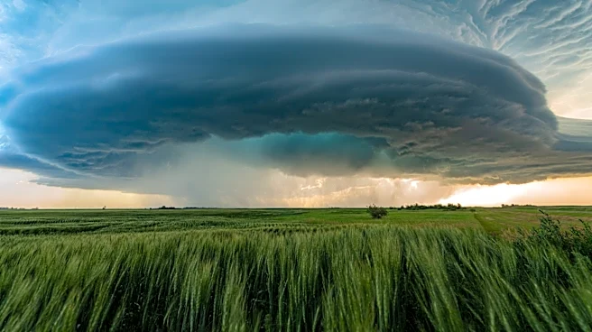
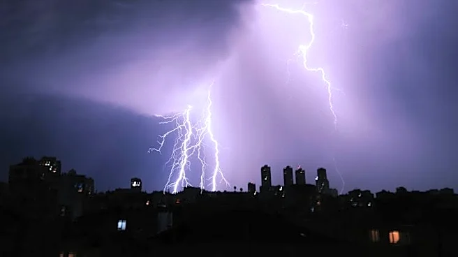
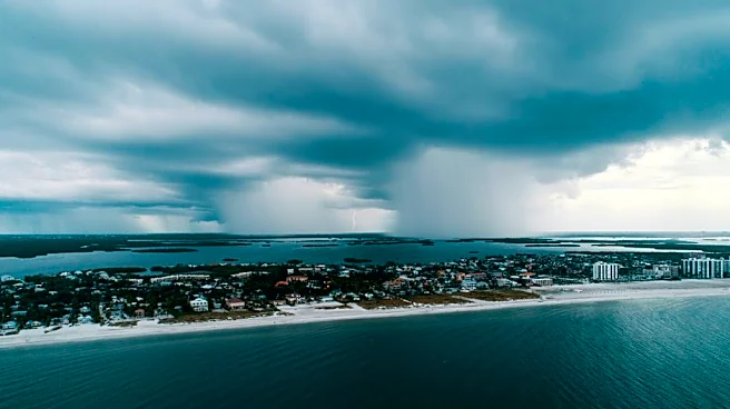
Boston and the surrounding New England region are set to experience a stormy Tuesday, with a warm front bringing scattered showers and thunderstorms. The weather system is expected to make the air muggy, with high humidity levels reminiscent of tropical
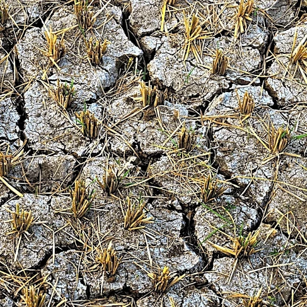
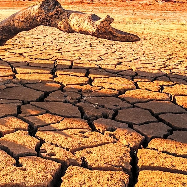
conditions. The storms, which could include heavy downpours, are anticipated to start in the early afternoon and continue into the night. This weather pattern follows a period of dry, refreshing air and is expected to alleviate drought conditions in the area.
Why It's Important?
The incoming storms are crucial for addressing ongoing drought conditions in New England. The anticipated rainfall could help replenish water levels and support agricultural activities. However, the storms also pose risks of localized flooding and potential damage from strong winds. Residents and businesses need to prepare for possible disruptions, particularly in areas prone to flooding. The weather event underscores the importance of climate resilience and preparedness in urban planning.
What's Next?
Following the initial storm system, a cold front is expected to pass through on Wednesday, bringing additional showers and thunderstorms. Residents should stay informed about weather updates and potential advisories. The region will continue to monitor water levels and drought conditions to assess the impact of the rainfall. Authorities may issue warnings or advisories if severe weather conditions develop.