


What's Happening?
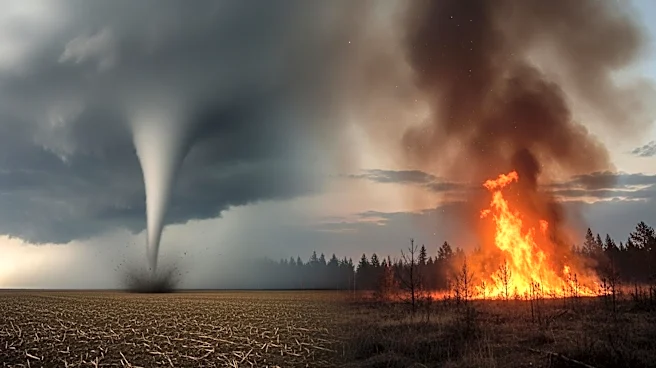
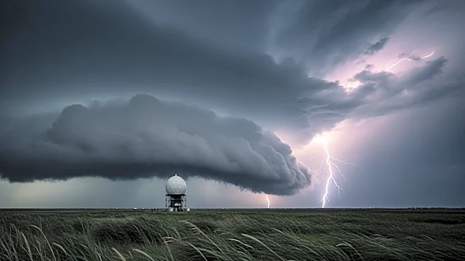
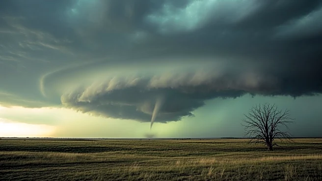
The National Weather Service (NWS) and the Storm Prediction Center (SPC) have issued warnings for severe thunderstorms and potential tornadoes across parts of the Midwest and South. Areas from the Lower Mississippi Valley to the Tennessee and Ohio Valleys
are at high risk due to atmospheric instability caused by warm, humid air near the ground and cooler air aloft. This instability, combined with erratic winds, could lead to damaging winds and rotating thunderstorms capable of producing tornadoes. The SPC's 'Day 1 Convective Outlook' highlights an enhanced risk of severe thunderstorms in parts of north Texas, with surrounding areas under a slight risk. Severe weather has already prompted warnings in eastern Arkansas and parts of Tennessee, with storms capable of producing wind gusts up to 60 mph and large hail.
Why It's Important?
The severe weather poses significant risks to life and property across the affected regions. The potential for tornadoes and damaging winds could lead to widespread damage to infrastructure, homes, and vehicles. The warnings highlight the need for residents to stay informed and prepared for rapidly changing weather conditions. The economic impact could be substantial, with potential disruptions to travel, business operations, and daily life. Emergency services and local governments may face increased demand for resources and support as they respond to storm-related incidents.
What's Next?
Residents in the affected areas are advised to monitor weather updates closely and take necessary precautions. The NWS recommends having multiple sources for weather alerts and identifying safe shelter locations. As the storm system moves eastward, additional severe weather developments are expected, necessitating continued vigilance. Local authorities may issue further warnings or advisories as conditions evolve, and residents should be prepared for potential evacuations or emergency measures.