




What's Happening?
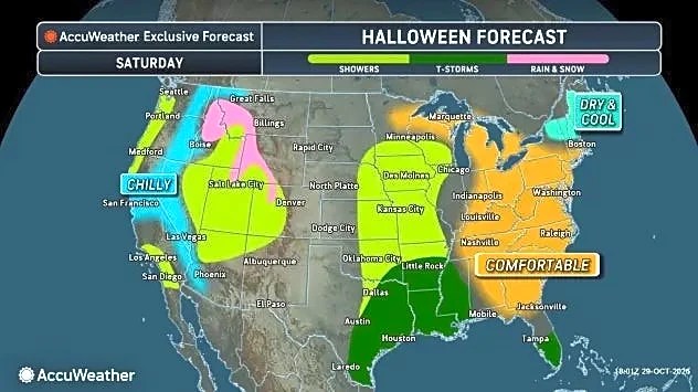
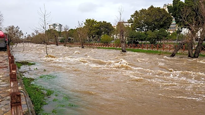
Thunderstorms are drenching eastern Gulf Coast states, stretching from Louisiana to Florida, while a large storm system continues to pose a flash flooding risk across the Southwest and Rockies. On Saturday, national temperature extremes were recorded,
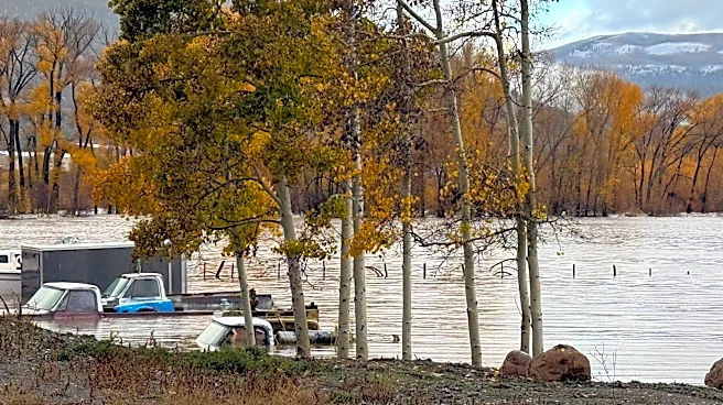
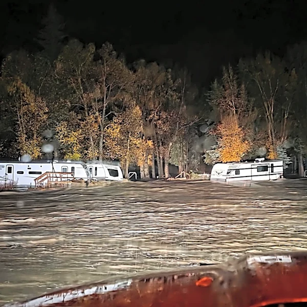
with a high of 92 degrees in McAllen, Texas, and a low of 17 degrees in Redmond, Oregon. The current weather pattern includes showers extending north across the Mississippi River Valley into parts of the Midwest. Central Arizona, southern Utah, and southwestern Colorado are facing an increased risk of flash floods. In contrast, the Great Plains and the Northeast are expected to experience dry weather. The forecast indicates that flash flooding and travel delays are possible wherever the heaviest downpours persist, covering a wide area of the country.
Why It's Important?
The dual weather phenomena—thunderstorms in the Gulf Coast and flood risks in the Southwest—highlight the diverse and impactful nature of current U.S. weather patterns. For residents in the Gulf Coast, the drenching thunderstorms can lead to localized flooding and disruptions, affecting daily life and potentially causing property damage. In the Southwest, the ongoing flash flood risk, particularly in areas like Arizona, Utah, and Colorado, poses a significant threat to public safety, infrastructure, and natural landscapes. The potential for travel delays across a wide swath of the country underscores the economic and logistical challenges posed by such weather events. Businesses reliant on transportation and outdoor activities may experience disruptions, and emergency services need to remain prepared for potential rescue operations and disaster response. The varying conditions across different regions necessitate localized preparedness and response efforts.
What's Next?
Residents in the Gulf Coast states from Louisiana to Florida, as well as those in the Southwest, are advised to monitor local conditions closely. The forecast emphasizes the possibility of flash flooding and travel delays where heavy downpours occur. Staying updated on local forecasts and avoiding driving through flooded roadways are critical safety measures. The current system is part of the autumn transition, where Gulf Coast thunderstorms and Southwest and Rockies precipitation typically shift with the changing season. While exact rainfall totals and the most at-risk locations for flooding remain unspecified in the forecast, continuous vigilance and adherence to local advisories are recommended for all affected areas.
Beyond the Headlines
The contrasting weather conditions across the U.S., from extreme heat in Texas to near-freezing temperatures in Oregon, underscore the broader climate variability impacting the nation. Such rapid shifts and regional extremes can strain resources and infrastructure, from water management in drought-prone areas to emergency response in flood zones. The mention of autumn transition suggests that these weather patterns are part of a seasonal shift, but their intensity and widespread impact raise questions about long-term climate trends. Understanding these complex interactions is crucial for developing resilient communities and effective disaster preparedness strategies, especially as climate patterns continue to evolve.