


What's Happening?
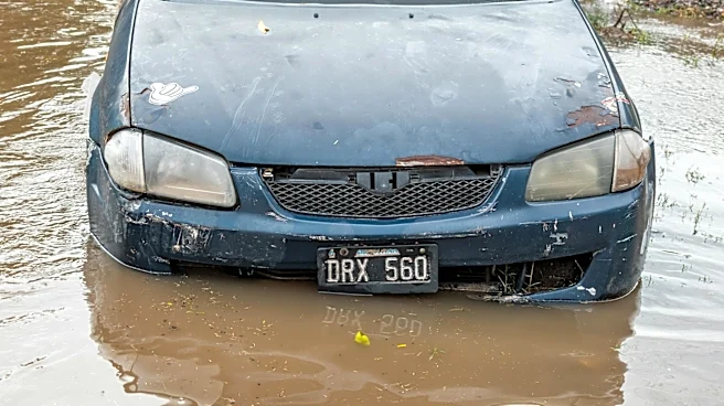
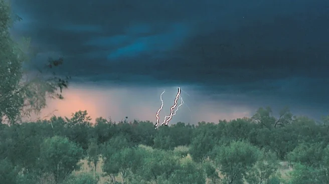
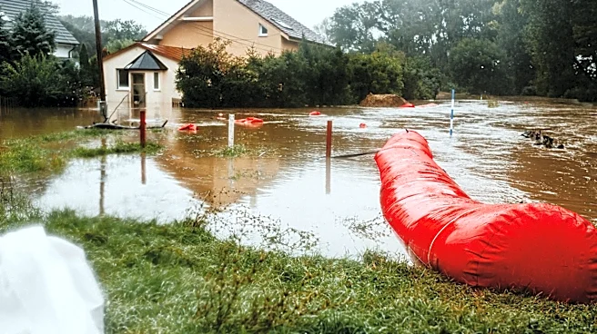
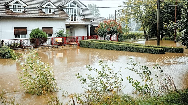
North Texas is facing a significant weather challenge as heavy rain and isolated storms are expected to bring flash flooding to the region. The ground is already saturated from previous rainfall, increasing the risk of flooding in low-lying areas. A Flood
Watch has been issued and will remain in effect until 4 p.m. on Sunday. Residents are advised to stay alert and take necessary precautions to protect themselves and their property from potential flood damage.
Why It's Important?
The potential for flash flooding poses a serious risk to communities in North Texas, particularly in areas that are prone to flooding. This weather event could disrupt daily life, damage infrastructure, and lead to costly repairs for affected residents. The situation underscores the importance of effective emergency preparedness and response strategies to mitigate the impact of severe weather events. Additionally, it highlights the ongoing challenges posed by climate variability and the need for adaptive measures to protect vulnerable regions.
What's Next?
As the Flood Watch remains in effect, local authorities and emergency services are likely to monitor the situation closely and provide updates to the public. Residents in affected areas should stay informed through local news outlets and heed any warnings or evacuation orders. In the aftermath of the storms, there may be efforts to assess the damage and provide assistance to those impacted by the flooding. Long-term, this event may prompt discussions on improving flood management and infrastructure resilience in North Texas.