


What's Happening?
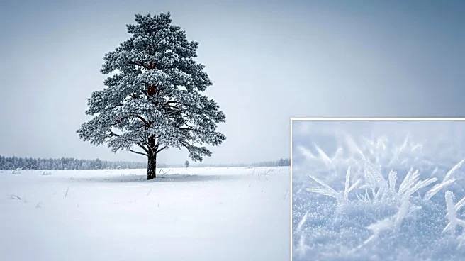
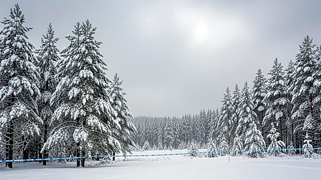
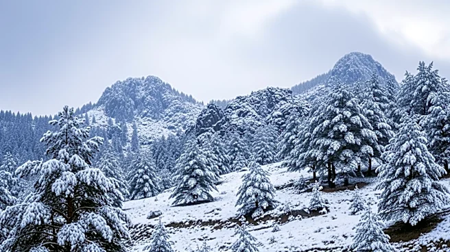
The National Weather Service (NWS) in Great Falls has issued a winter storm watch for central and southwestern Montana, anticipating a late-season storm that could bring up to 10 inches of snow and strong winds. The storm is expected to affect multiple
counties and mountain ranges starting late Wednesday and continuing through Thursday afternoon. Areas such as Judith Basin County, Fergus County, and several mountain ranges including the Little Belt and Gallatin Mountains are under the watch. The storm could result in hazardous travel conditions, particularly across mountain passes, with potential for whiteout conditions due to gusty winds up to 60 mph. The NWS warns of possible infrastructure impacts, including power outages due to downed trees or power lines.
Why It's Important?
This weather event is significant as it poses potential risks to travel and infrastructure in the affected regions. The timing of the storm, occurring late in the season, may catch residents and travelers off guard, leading to increased danger on the roads. The heavy snowfall and strong winds could disrupt daily activities, impact local businesses, and strain emergency services. Additionally, the potential for power outages could affect thousands of residents, highlighting the need for preparedness and caution. The storm's impact on transportation could also have broader economic implications, particularly for industries reliant on timely logistics and supply chains.
What's Next?
Residents and travelers in the affected areas are advised to monitor weather forecasts closely and prepare for rapidly changing conditions. The NWS may upgrade the current watch to a warning if forecast confidence increases, signaling more imminent and severe weather conditions. Local authorities and emergency services are likely to be on high alert, ready to respond to any incidents resulting from the storm. Communities are encouraged to complete necessary preparations and avoid unnecessary travel during the storm's peak.