





What's Happening?
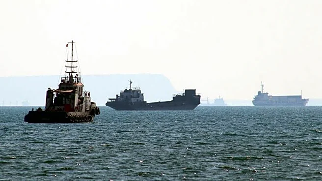
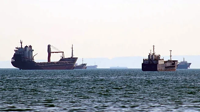
International shipping companies are advising ship captains to refresh their skills in traditional navigation methods, such as using maps and charts, due to a significant increase in GPS jamming and spoofing in the Strait of Hormuz. UK parliamentary hearings
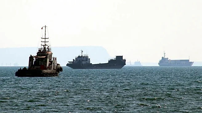
revealed a substantial rise in electronic interference, which sources link to Iran. In June 2026, an average of 970 vessels per day experienced jamming in the Strait of Hormuz, accounting for 98% of all global GPS jamming incidents. This interference primarily targets tankers and container ships. A particular danger is signal spoofing, where a vessel's receiver displays false coordinates, increasing the risk of collisions or groundings. The UK's Maritime and Coastguard Agency (MCA) has issued a warning, urging shipping companies and port authorities to assess their readiness to operate without GPS and recommending crews refresh their navigation skills, including Morse code light signaling. Since the beginning of November, 17 attacks on vessels have occurred in the Strait of Hormuz, following 29 attacks in October.
Why It's Important?
The surge in GPS interference in the Strait of Hormuz poses significant risks to global maritime trade and safety. The Strait is a critical chokepoint for oil and gas shipments, and disruptions there can have far-reaching economic consequences, potentially impacting energy prices and supply chains worldwide. The reliance on GPS for modern navigation has made vessels vulnerable to electronic warfare tactics like jamming and spoofing, which can lead to dangerous situations such as collisions, groundings, and misdirection into hostile waters. This situation highlights a critical vulnerability in global shipping infrastructure and underscores the need for robust contingency plans and a return to fundamental navigation skills. The economic impact of such disruptions is substantial; for instance, the loss of positioning, navigation, and timing systems is estimated to cost the UK £1.4 billion per day, indicating the broader economic implications for nations heavily reliant on maritime trade.
What's Next?
Shipping companies and maritime authorities are expected to intensify training programs for seafarers in traditional navigation techniques, including celestial navigation, dead reckoning, and the use of paper charts and Morse code. The Maritime and Coastguard Agency's warning suggests a broader push for operational readiness without GPS. Furthermore, there may be increased pressure on international bodies to address the source of the interference, potentially leading to diplomatic efforts or enhanced maritime security measures in the Strait of Hormuz. Technology developers are also exploring more resilient navigation alternatives, such as low-earth-orbit satellite positioning, terrestrial radio navigation, and inertial systems, though widespread deployment of these solutions is still years away. The ongoing attacks on vessels in the region suggest that the threat environment remains volatile, necessitating continuous vigilance and adaptation from the shipping industry.
Beyond the Headlines
The escalating GPS interference in the Strait of Hormuz points to a broader trend of weaponizing electronic warfare in strategic maritime corridors. This development has significant implications for national security, as military systems are also heavily reliant on satellite navigation. Former head of UK Space Command Major General Paul Tedman noted that approximately 3,000 systems in an army brigade depend on space systems for communications, navigation, logistics, and missile guidance. The vulnerability of civilian shipping to such tactics could foreshadow similar threats to military operations, necessitating a re-evaluation of defense strategies and investments in resilient navigation and communication technologies. The situation also raises ethical questions about the targeting of civilian infrastructure and the potential for miscalculation or escalation in already tense geopolitical regions. The long-term shift could see a dual approach to navigation, combining advanced satellite systems with a renewed emphasis on traditional, resilient methods.